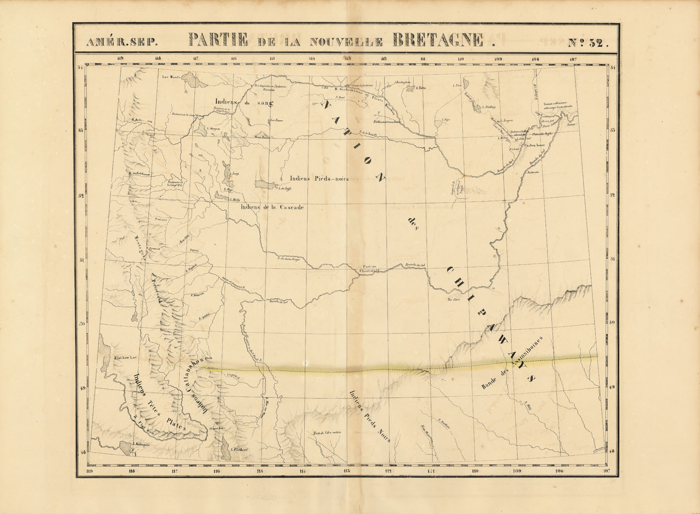
1795-1869
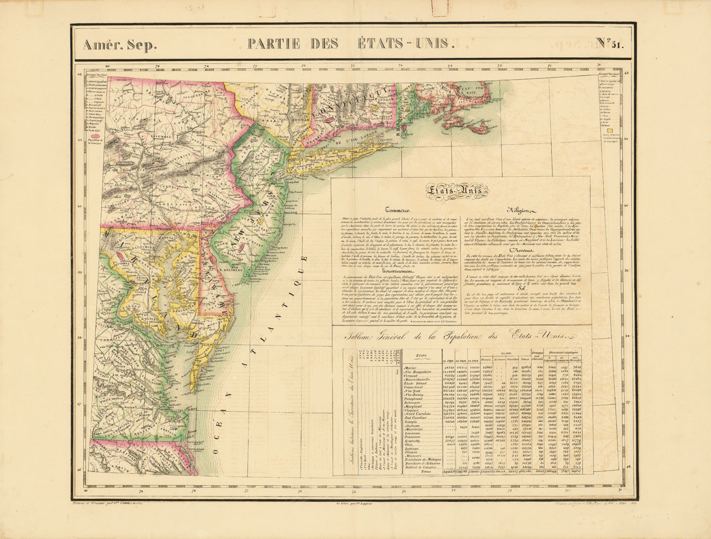
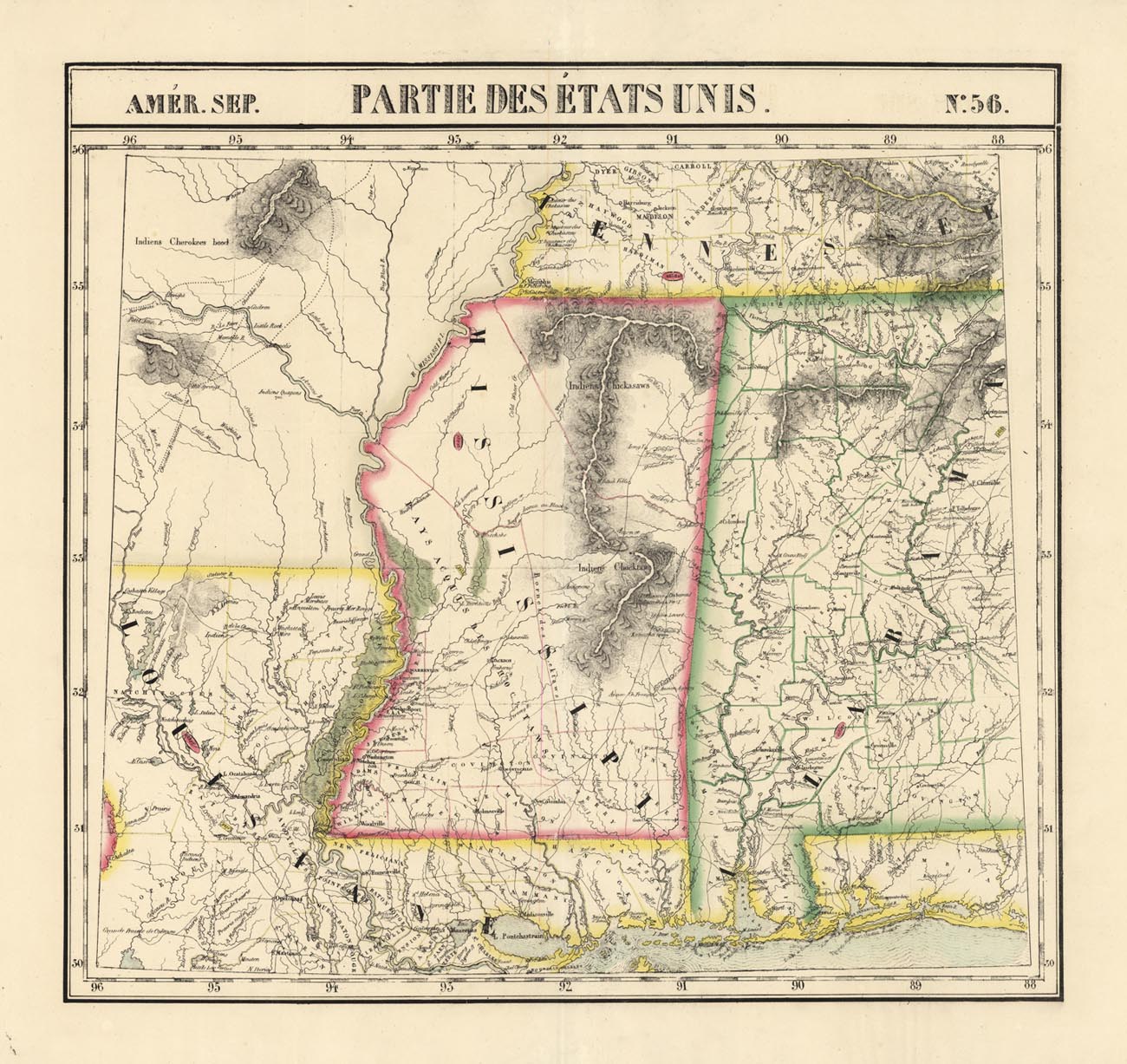
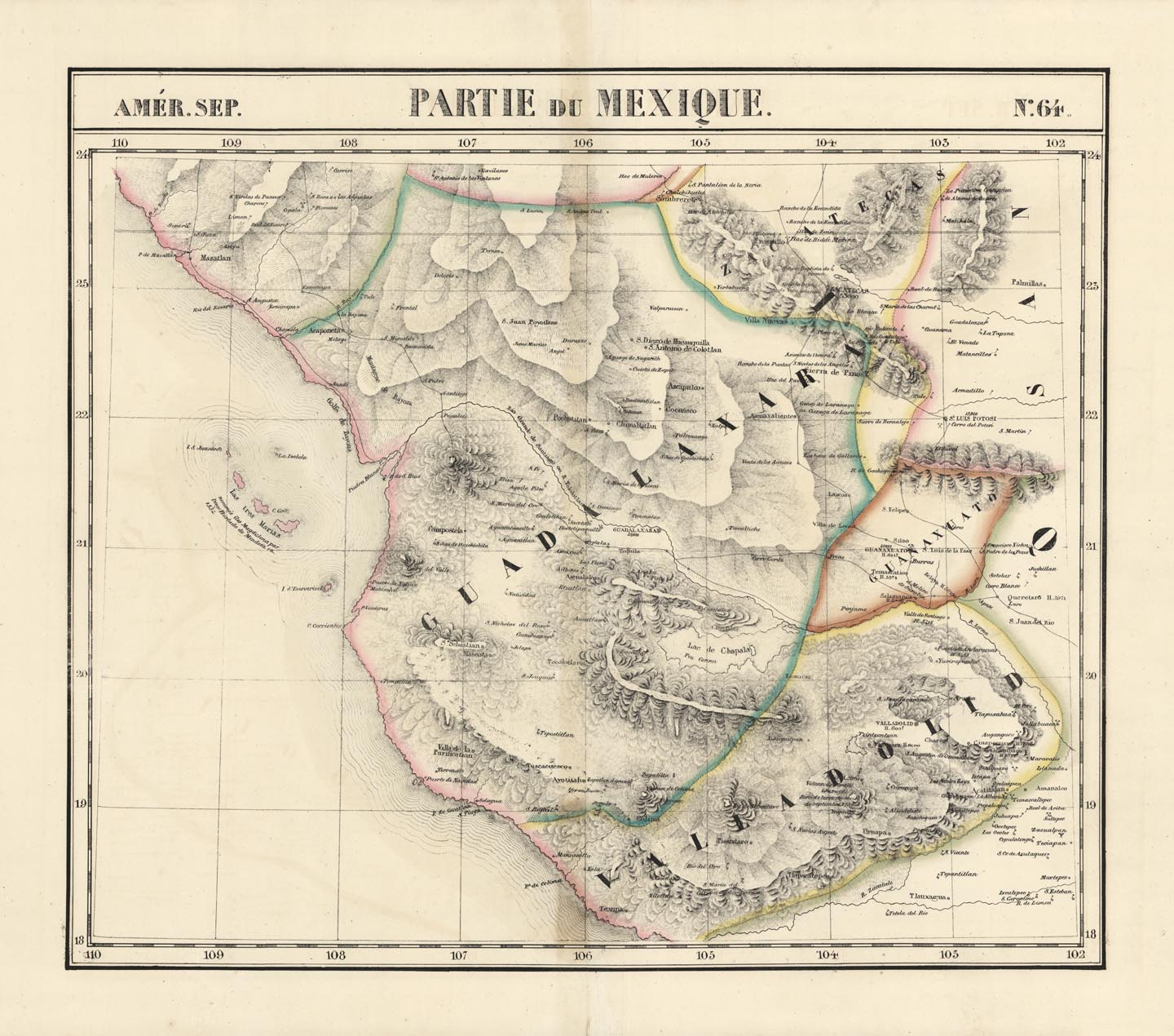
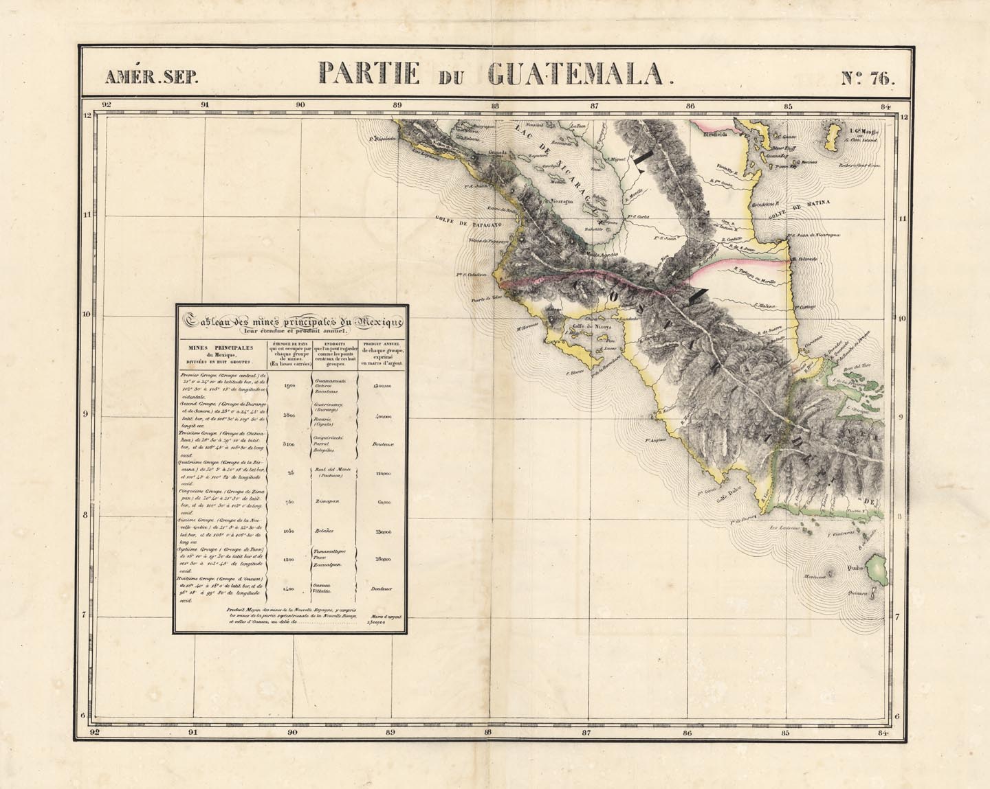
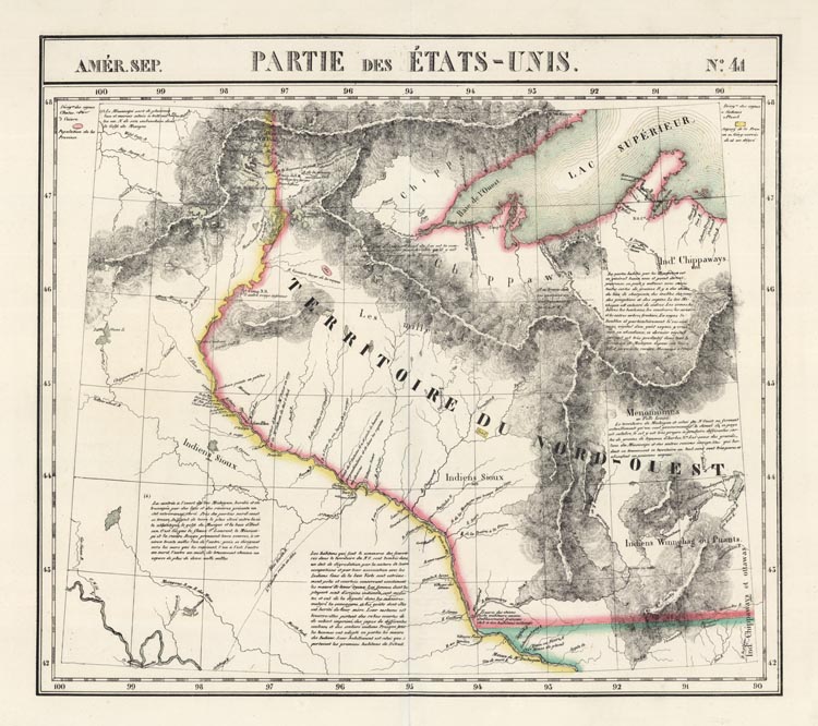
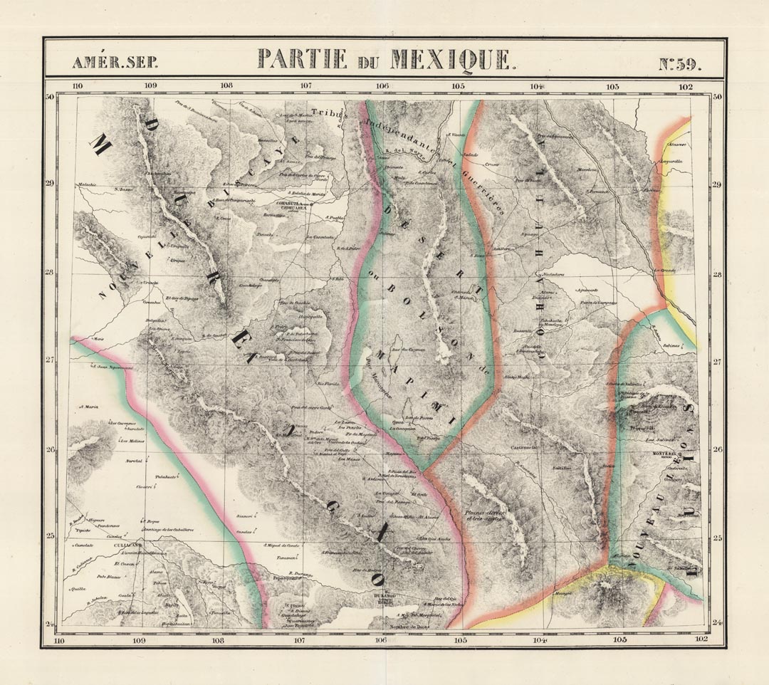
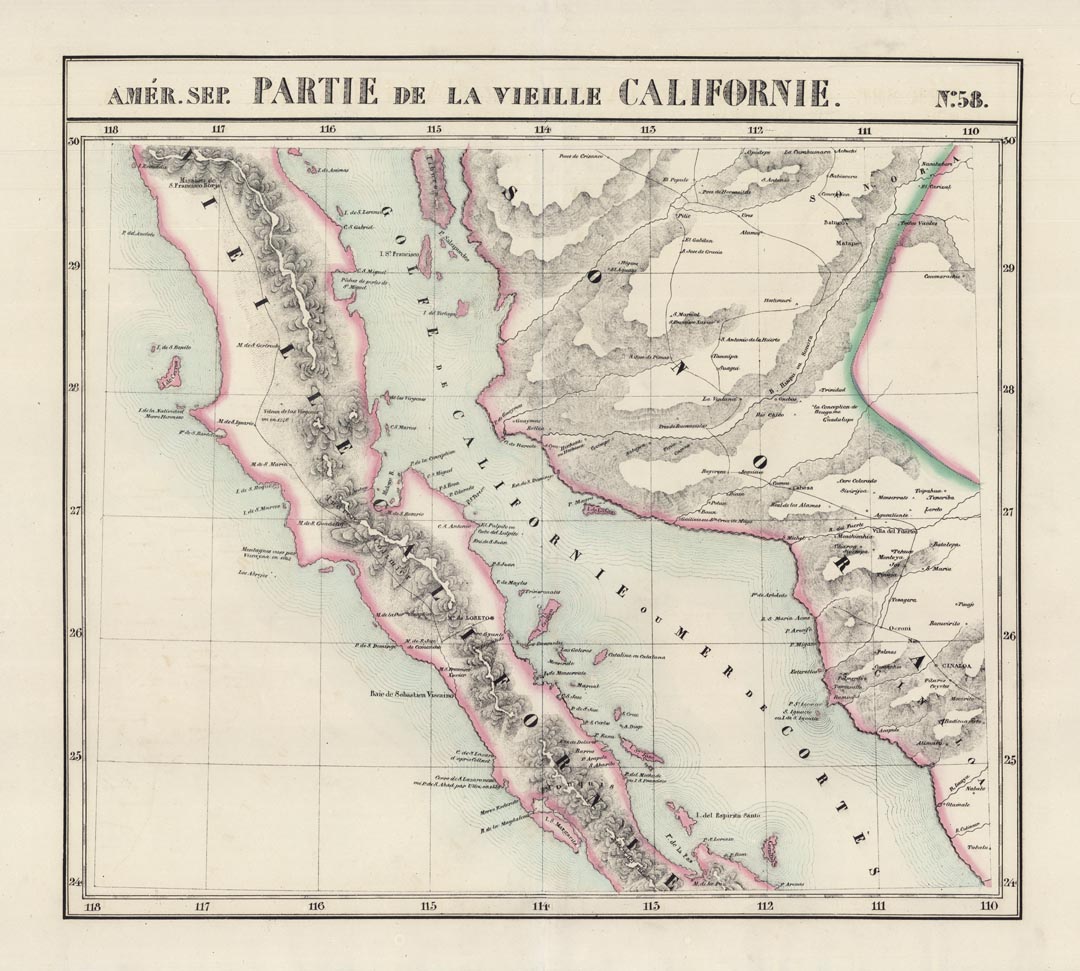
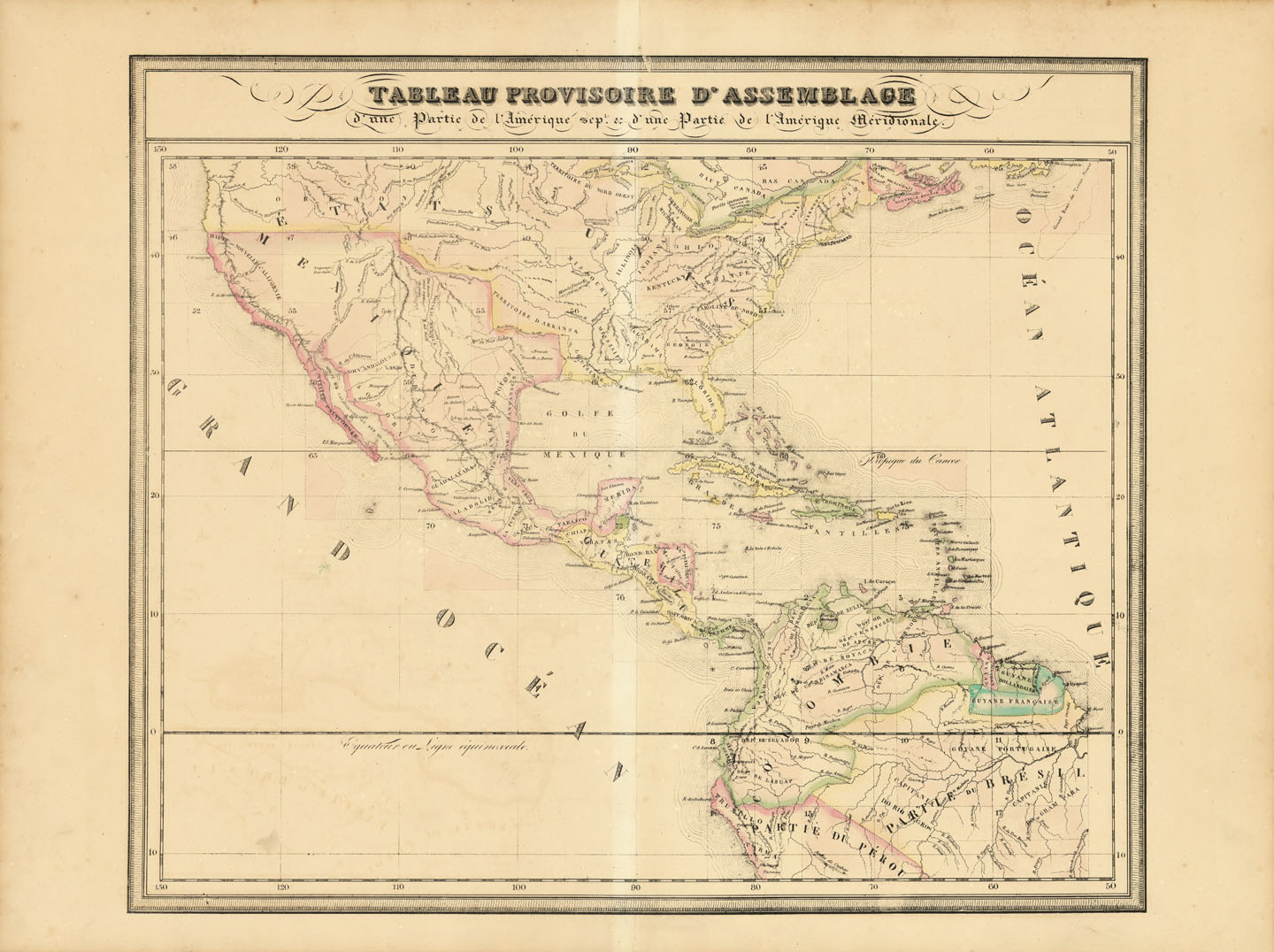
Philippe Vandermaelen was an important Belgian cartographer and educator, born in Brussels. The son of a wealthy soap maker, Vandermaelen initially started out life as a merchant, selling pharmaceuticals. His love for geography, however, brought about a career shift in 1825, when the publication of his "Atlas Universel" was met with acclaim. It was the first atlas to depict the world on a large, single scale manner. The Osher Map Library suggests this might have been done to allow for the construction of a globe, but no recorded attempts have been made, perhaps because the globe would have measured almost 25 feet (7.75 meters) in diameter. Vandermaelen also did not include blank pages of the world's vast oceans as he did not want to waste paper, so anyone constructing it would have had to supply the materials themselves. The atlas also claims notoriety for having been the first to show in large scale, high detail the regions of North America and the South Pacific, notably Australia and New Zealand.
In 1830, five years after the publication of his atlas, Vandermaelen founded the "Etablissement geographique de Bruxelles", a private organization that focused heavily, but not solely on the production of maps. The land upon which it was built had been inherited from his parents and his brother, Jean-Francois, established a botanical garden on the property. As time progressed, libraries for both books and maps, a planetarium, museum of anatomy and natural history, and schooling facilities were also added. The establishment had a profound cultural affect during the nearly fifty years it was open. Its vast collections wound up at the Royal Library of Belgium in 1880, but due to a lack of funding, the immense collection was set aside and subsequently forgotten. It wasn't until the mid-20th century that it was rediscovered, and it wasn't until 1990s that funding was secured to properly document the material.
Beyond his atlas, Vandermaelen and his establishment also produced hundreds of maps of Brussels and Belgium following the Belgian Revolution (1830-31), which resulted in the country's independence from the United Netherlands.
SHARE


 Login / Register
 Basket