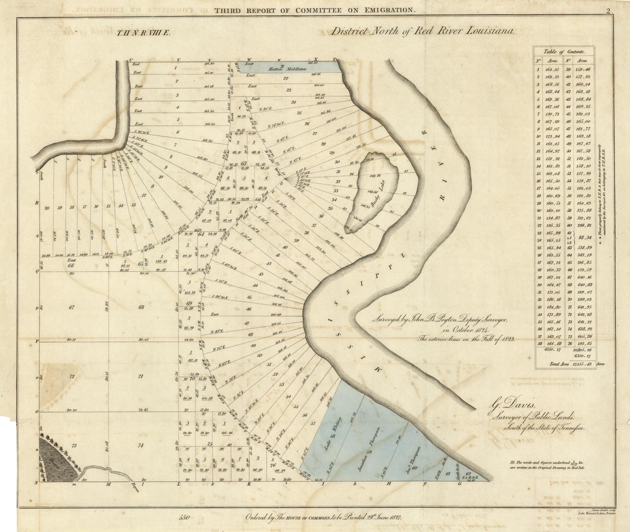
ARTIST: John Peyton
PUBLISHER: Published by order of the British House of Commons.
MEDIUM: Engraving,
DATE: 1827
EDITION SIZE: 13 7/8 x 16 7/8" (351 x 428 mm)
DESCRIPTION: A rare and unusual map that shows U.S. public lands that are available for sale in the state of Louisiana in areas just north of the junction of the Red and Mississippi Rivers. This map was likely issued in an official report from the “Select Committee on Emigration from the United Kingdom.” Colored areas show lands that have been sold.
ADDITIONAL INFO:
CONDITION: Good condition. Original coloring.
REFERENCE:


 Login / Register
 Basket