PUBLISHER: Published by Charles Magnus, 12 Frankfort Street, New Yrok.
MEDIUM: Stone engraving,
DATE: Undated, c.1862.
EDITION SIZE: 22 5/8 x 22 7/8" (57.5 x 58.2 cm) plus margins
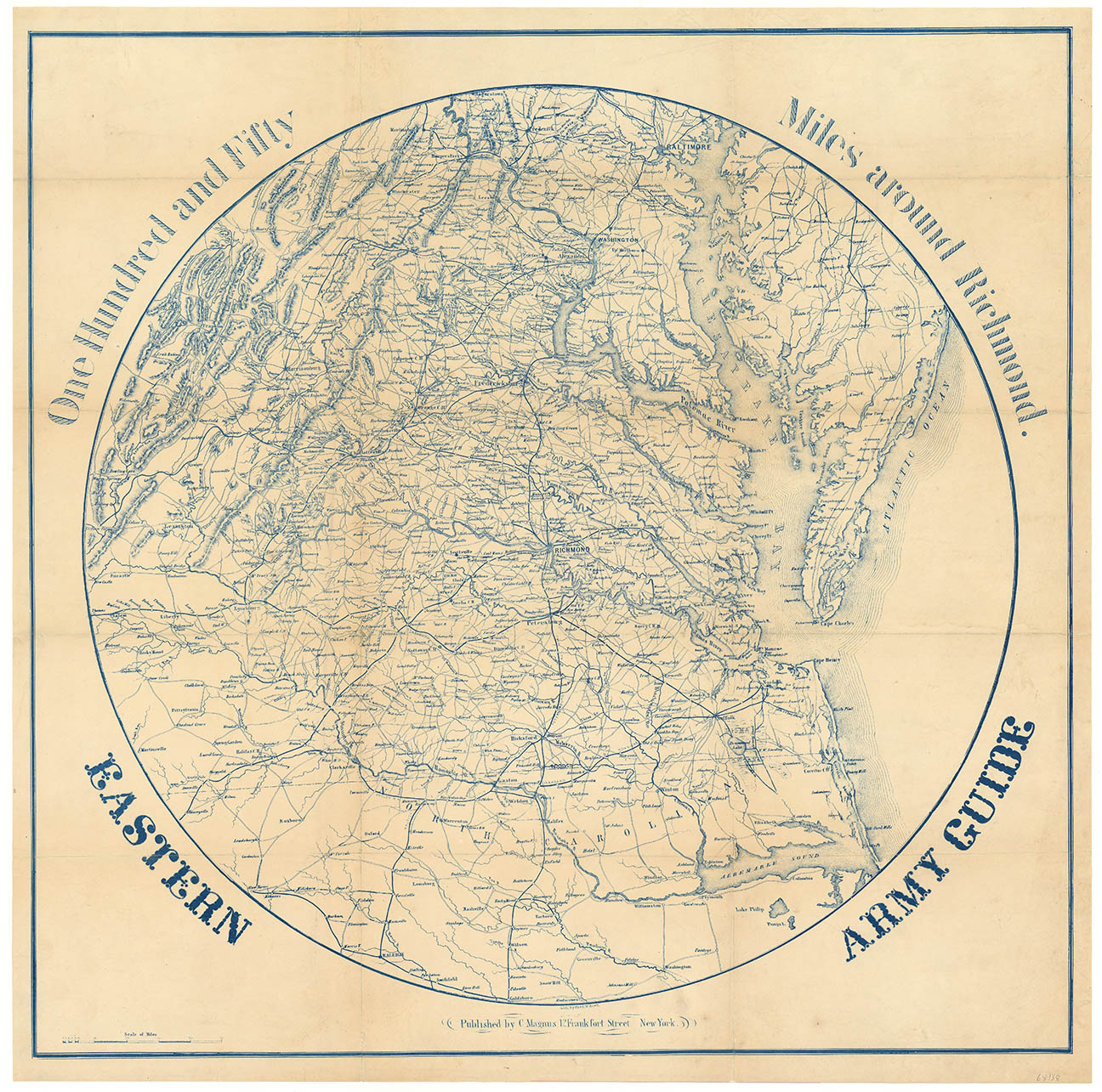
DESCRIPTION: Lith. by Fred W. Boell. A scarce Civil War era map showing Relief shown by hachures. Depths shown by soundings. Spherical map showing railroads converging in Richmond, roads, names of cities and towns. Richmond is at the center with Baltimore and Hagerstown to the north and Raleigh and Goldsboro, North Carolina to the south. To the east is the Chesapeake Bay and a good portion of the Delmarva Peninsula. To the west is Lexington, Virginia. Folded, circular map; no insets or portraits; battles indicate early issue that is not noted in Stephenson.
ADDITIONAL INFO:
CONDITION: Good condition save for some splitting along fold lines. Professionally repaired.
REFERENCE:


 Login / Register
 Basket