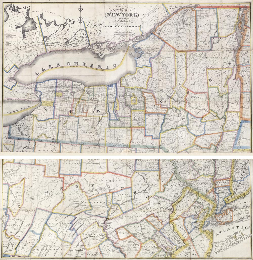
ARTIST: Amos Lay
MEDIUM: Copper plate engraving,
DATE: 1817 (1820).
EDITION SIZE: Segmented case map, joined into two sheets. Overall, 50 1/4 x 50 1/4"
DESCRIPTION: The second edition, revised & published in 1820. Lay's rare separately published case map of the Empire State. Lay produced several different maps of New York State between 1801 and 1820. This full state version was first issued in 1817 and was then revised and reissued in 1820, 22, 23, 24, and 26. A key identifies county lines, roads, courthouses, churches, colleges, forests, villages, mills, ironworks, and Indian villages.
ADDITIONAL INFO: This map was at one time a multi-section case map with each section mounted on linen. This example has been removed from the linen, the sections joined together and backed on thin stock rag paper. It is currently in two separate sections which can be easily be joined to form one large map.
CONDITION: Overall good condition. Original outline hand coloring.
REFERENCE: Ristow p 99; Phillips Maps p 509.


 Login / Register
 Basket