Login to shop and access your account
Save what you like, keep track of your orders, and view your purchase history
Click to enlarge
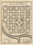
Price: $75.00
SKU: 91409
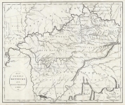
ARTIST: J. Russell
PUBLISHER: Published by H. D. Symonds, London.
MEDIUM: Copper plate engraving
DATE: 1794-95
EDITION SIZE: 6 3/8 x 4 5/8" (16.1 x 11.7) plus margins.
DESCRIPTION:
ADDITIONAL INFO:
CONDITION: Good condition. B/W
REFERENCE:
J. Russell
Map of the State of Kentucky; with the Adjoining Territories. 1794.
$1350.00
Plan of Lystra, in Nelson County; Kentucky.
$75.00


 Login / Register
 Basket