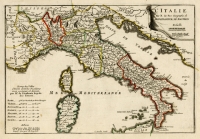
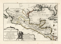
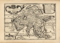
ARTIST: Nicolas de Fer
PUBLISHER: Published in Paris.
MEDIUM: Engraving,
DATE: 1705.
EDITION SIZE: Image size 8 1/2 x 12 3/4" (21.5 x 32.5 cm) plus margins.
DESCRIPTION: Early 18th-century world map, from Nicolas de Fer’s ‘Atlas Curieux ou de Monde.’ De Fer was an official geographer for the kings of Spain and France, and one of the most prolific map publishers of the late 17th and early 18th centuries, although many of his maps were drawn with a focus on artistry rather than geographic accuracy. This particular map covers the globe, labeling land regions, islands, and oceans.<br><br. Some regions are misshapen or inaccurately drawn, and many interesting 18th-century theories about geography are visible in this map. California is depicted as an island, reflecting the common belief of the time. Some major regions are also left unmapped; a cartouche covers much of northwestern North America, where the Northwest Passage was speculated to exist, and no land is drawn at the South Pole where many believed the Terra Australis landmass was located. Also visible are several routes of exploration across the oceans.
ADDITIONAL INFO:
CONDITION: Good condition. B/W. Narrow right margin.
REFERENCE:


 Login / Register
 Basket