PUBLISHER: Published by the U.S. Geological Survey.
MEDIUM: Multi-color stone engraving
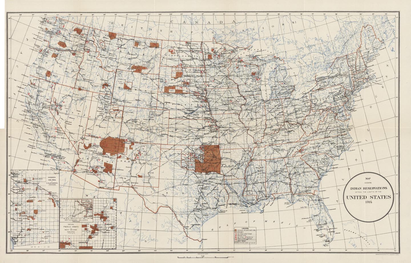
DATE: 1914
EDITION SIZE: 15 x 24 1/4" (38 x 61.7 cm) plus margins.
DESCRIPTION: Map shows Native American reservation boundaries in the continental United States; reservation hospitals, schools, railroads, state boundaries, cities, major towns, etc. Inset maps are: Mission Ind. Res. in California, Indian Pueblo grants in New Mexico and Northeastern Oklahoma. Engraved and published by the U.S. Geological Survey.
ADDITIONAL INFO:
CONDITION: Good condition and color.
REFERENCE:


 Login / Register
 Basket