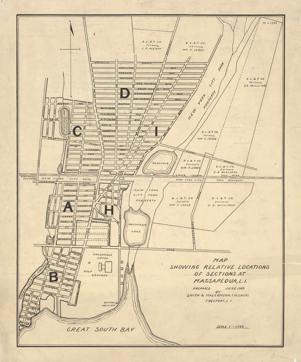
PUBLISHER: Prepared June 1909 bhy Smith & Malcomson, Civil Engineers, Freeport, L.I.
MEDIUM: Stone engraving
DATE: 1909.
EDITION SIZE: Image 16 x 12 3/4" (32.4 x 40.5 cm).
DESCRIPTION: This map was likely prepared for "Q.L. & T. Co." a real estate development company. Washington Avenue is the extreme western road and Wurtenburg Road (now Park Boulevard) the extreme eastern road. Jerusalem in the farthest to the north. Likely a very scarce map.
ADDITIONAL INFO:
CONDITION: Good condition save for tear in right edge, 1 1/4" into image. (Just right of the title cartouche. B/W
REFERENCE:


 Login / Register
 Basket