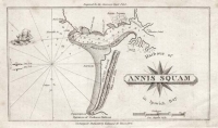
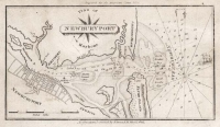
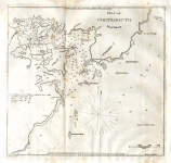
ARTIST: Edmund Blunt
PUBLISHER: Published by E. & G.W. Blunt 179 Water Street, New York.
MEDIUM: Copper plate engraving,
DATE: 1841.
EDITION SIZE: Image size 7 3/8 x 9 3/4" (18.6 x 24.8 cm).
DESCRIPTION: A fine sea chart from Edmund M. Blunt's "American Coast Pilot." Blunt is one of the foremost names in modern navigation. This "pilot" was first issued in Newburyport Mass in 1796 without plates. The first issue to contain maps was issued in 1804. This particular chart appeared in the 16th edition of the pilot. Tybee Island is shown of the left, Hilton Head and Dawfuskie Island are shown on the right.
ADDITIONAL INFO:
CONDITION: Good condition save for minor damp stain in upper right. B/W
REFERENCE:


 Login / Register
 Basket