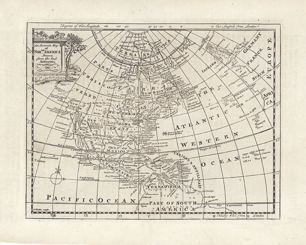
ARTIST: George Rollos
MEDIUM: Copper plate engraving,
DATE: 1785
EDITION SIZE: Image size 6 3/4 8 7/8" (17.2 x 22.4 cm)
DESCRIPTION: A detailed map North America, issued shortly after the close of the American Revolution. Cartographically this map shows an unknown NW Coast of America with an undefined coastline, predating Cook's explorations. A number of the Arctic explorations are delineated and many native American Indian tribes named. This map was engraved by George Rollos and appeared in Guthries Geographical Grammar.
ADDITIONAL INFO:
CONDITION: Good condition. B/W
REFERENCE:


 Login / Register
 Basket