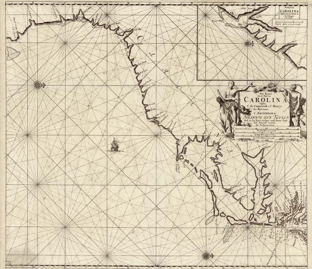
ARTIST: Johannes Van Keulen
MEDIUM: Copper plate engraving,
DATE: 1684, 1687.
EDITION SIZE: 20 1/4 x 22 3/4" (514 x 580mm) plus margins.
DESCRIPTION: A handsome early hydrographic chart of the Virginia, Carolina, Georgia and northern Florida coastlines. An inset or detail map in the upper right is of the Charleston area. The van Keulen family was one of the dominant Dutch makers of sea charts.
ADDITIONAL INFO:
CONDITION: Good condition. Black & white.
REFERENCE: #91 in The Southeast in Early maps by Wm. P. Cumming; Burden, P. “Mapping of North America” #589


 Login / Register
 Basket