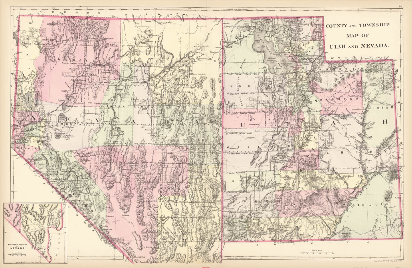
ARTIST: A. Augustus Mitchell
PUBLISHER: Published by William M. Bradley & Bros. Philadelphia.
MEDIUM: Handcolored stone engraving,
DATE: 1884-85.
EDITION SIZE: Image size 14 1/8 x 21 3/4" (35.6 x 55.2 cm).
DESCRIPTION: A fine map of the two states from Bradley's "Atlas of the World". The map is colored by counties and shows towns, roads, railroads, rivers, lakes, and other details. Las Vegas is not yet "on the map".
ADDITIONAL INFO:
CONDITION: Good condition and color.
REFERENCE:


 Login / Register
 Basket