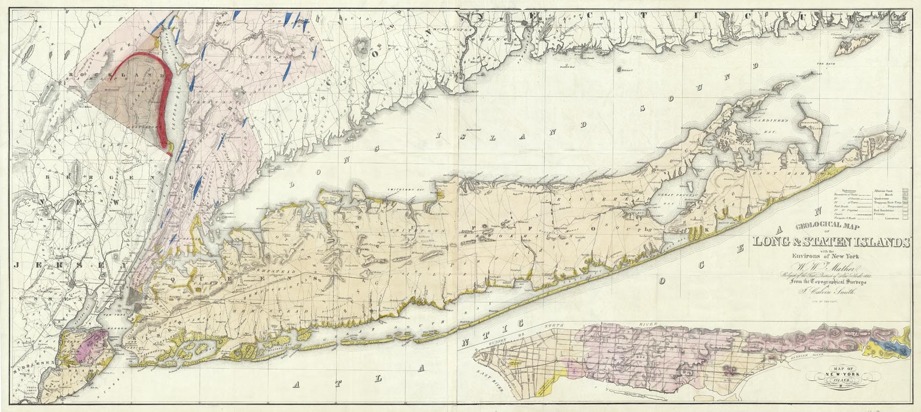
ARTIST: W. Mather
MEDIUM: Stone engraving with light wash coloring,
DATE: c.1842.
EDITION SIZE: Image size 22 1/2 x 51" (57.3 x 129.5 cm) plus margins.
DESCRIPTION: A decorative large scale fold-out map of the Island by W.W. Mather who was the official geologist of the first district of New York. He based this map from the topographical surveys of J. Calvin Smith. Meadows, roads and early towns and villages are shown. The Long Island Railroad is in construction and tracts are shown to be laid to Half Hollow Hills which is just east of current day Hicksville. The inset in the lower right is of Manhattan.
ADDITIONAL INFO:
CONDITION: Good condition save for some minor stains along fold lines
REFERENCE:


 Login / Register
 Basket