PUBLISHER: Published by H. C. Carey & I. Lea, Philadelphia.
MEDIUM: Copper engraving, hand colored,
DATE: 1822 (1823).
EDITION SIZE: 16 1/2 x 20 3/8" (420 x 520mm) including text.
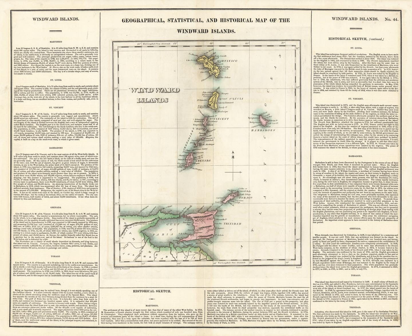
DESCRIPTION: A fine map from Carey and Lea's "A Complete Historical, Chronological, and Geographical American Atlas". The text is extensive and gives a "historical sketch" as well as describing the commerce, education, religion, government, and chief towns, roads and canals, climate, rivers, minerals, and boundaries. Drawn by F. Lucas Jr <br><br> Shows Trinidad, Tobago, St. Vincent, Grenada, Barbadoes, St. Lucia and Martinico.(modern day Martinique).
ADDITIONAL INFO:
CONDITION: Good condition with original wash color.
REFERENCE:


 Login / Register
 Basket