ARTIST: J. Goodno
PUBLISHER: Published by J. R. Goodno. Printed by Pendleton's Lithography, Boston.
MEDIUM: Lithograph,
DATE: 1833
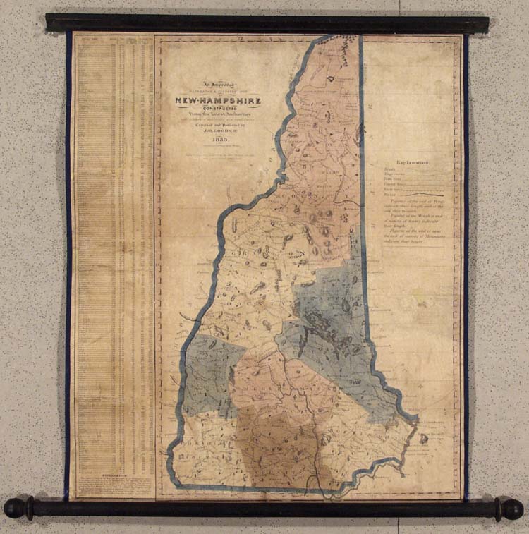
EDITION SIZE: Two panel wall map on original rollers. Map size, 24 1/4 x 20" Overall 26 1/3 x 27"
DESCRIPTION: A very scarce folio sized wall map. Each county is colored separately and within them the townships are delineated by a dotted line. Along the left edge is a separately printed attached "explanation" panel noting over 220 towns, each with the date of its incorporation, latitude, distance from the State Capitol, distance from the U.S. Capitol and population. I have been unable to locate any information on Goodno who was likely a resident of New Hampshire. The Pendleton brothers are remembered as one pioneers of American commercial lithography. Nathaniel Currier and John Bufford, as well as J. W. A. Scott, F. H. Lane and A. J. Davis are among the lithographers that apprenticed or worked with the Pendletons. See pp. 312-323 in America on Stone by Harry T. Peters.
ADDITIONAL INFO:
CONDITION: Good condition for a wall map of the period. There are several small holes and areas of image loss. Professionally restored.
REFERENCE:


 Login / Register
 Basket