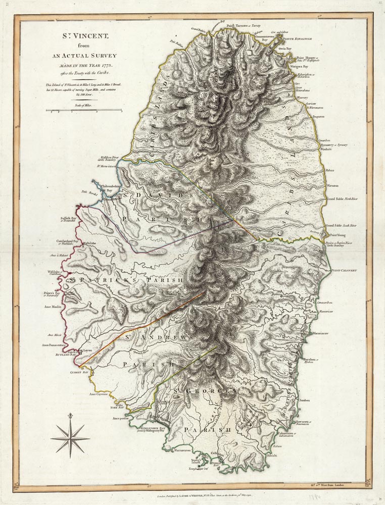
ARTIST: Thomas Jefferys
PUBLISHER: Published by Laurie & Whittle, No. 53 Fleet Street, London.
MEDIUM: Copper plate engraving
DATE: 1794
EDITION SIZE: 24 x 18 1/8" (609 x 463 mm) plus margins.
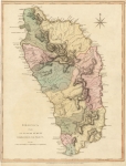
DESCRIPTION: A beautiful and finely engraved map of the island from Tho. Jeffreys' "The West Indian Atlas". Parishes, town and place names and rivers are shown.
ADDITIONAL INFO:
CONDITION: Fine condition. Original hand coloring.
REFERENCE:


 Login / Register
 Basket