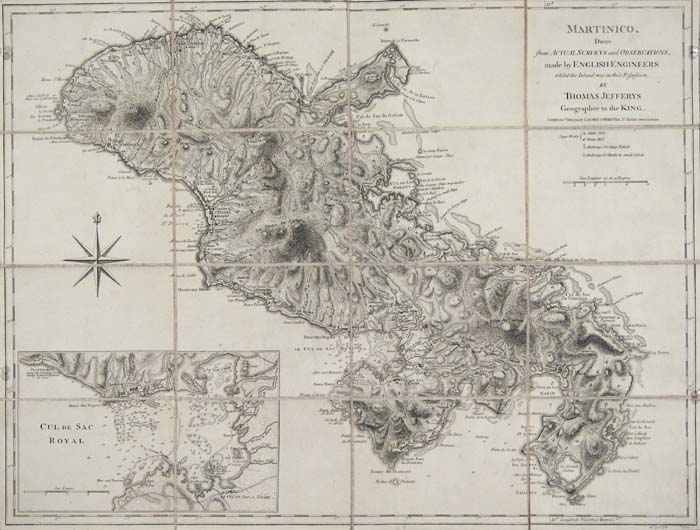
ARTIST: Thomas Jefferys
PUBLISHER: Published by Laurie & Whittle, London.
MEDIUM: Copper plate engraving,
DATE: 1794.
EDITION SIZE: Image size 18 1/2 x 24 3/8" (46.8 x 61.9 cm)
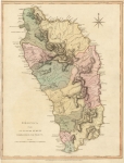
DESCRIPTION: A beautiful and finely engraved map of the island or Martinique from Thomas Jeffreys' "The West Indian Atlas". Towns, anchorage's, rivers and roads are shown. The inset in the lower left is of "Cul de Sac Royal." This is a separately issued version of the map, segmented and backed on linen.
ADDITIONAL INFO:
CONDITION: Very good condition. Black & white.
REFERENCE: Sellers and Van Ee #2063


 Login / Register
 Basket