ARTIST: Henri Chatelain
PUBLISHER: Published in Amsterdam by L’Honore & Chatelain.
MEDIUM: Copper plate engraving printed on fine laid paper,
DATE: 1714
EDITION SIZE: 14 7/8 x 40" (378 x 1116 mm) plus margins.
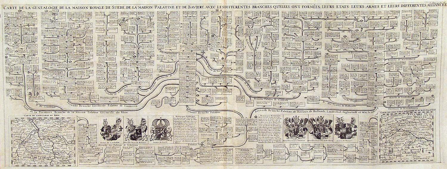
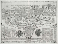
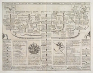
DESCRIPTION: This impressive engraving is the seventeenth plate in volume four of Chatelain’s celebrated encyclopedia, Atlas Historique. Printed in 1714, this unique engraving is from the first edition of volume four published by Chatelain as part of his large seven volume work. The large fold out chart traces the genealogies of the royal house of Sweden. The complicated lineage of the house of Palatine and its relation to the Swedish Kings is all carefully laid out across the sheet. Two inset maps, one depicting the whole of the Rhine and the other illustrating Bavaria, are also included, as are six carefully drawn coats of arms. The plate shows the connections between the separate houses and includes a wealth of meticulous detail. Historical notes and dates have been carefully included and there are a number of key tables. Beautifully designed and filled with intricate detail, this elegant engraving is a superb example from the golden age of French mapmaking.
ADDITIONAL INFO:
CONDITION: Very good condition. Creases in sheet where it has been folded to fit into atlas. Black and white.
REFERENCE: Phillips, A List of Geographical Atlases in the Library of Congress, 305, 548, & 579; Moreland & Bannister, Antique Maps; Koeman, Atlantes Neerlandici, vol. II. p. 33-38.


 Login / Register
 Basket