ARTIST: Samuel Augustus Mitchell
PUBLISHER: Published by S. A. Mitchell, Philadelphia.
MEDIUM: Handcolored engraving,
DATE: c.1865.
EDITION SIZE: 10 3/4 x 13 3/8" (272 x 338 mm) plus margins.
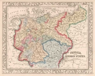
DESCRIPTION: A fine map of the northwestern states from Mitchell's "New General Atlas". A decorative printed "grape vine" border surrounds this map. This map appeared in successive yearly editions of Mitchell’s atlas. Almost each year the map was updated to reflect the evolving borders of territories and states. In Washington and Oregon each county is colored separately. One of the earlier maps to depict the new Territory of Montana, (1864.) Nicely embellished with a rose, flower and ivy vine border. A nice bright impression.
ADDITIONAL INFO:
CONDITION: Good condition and color.
REFERENCE:


 Login / Register
 Basket