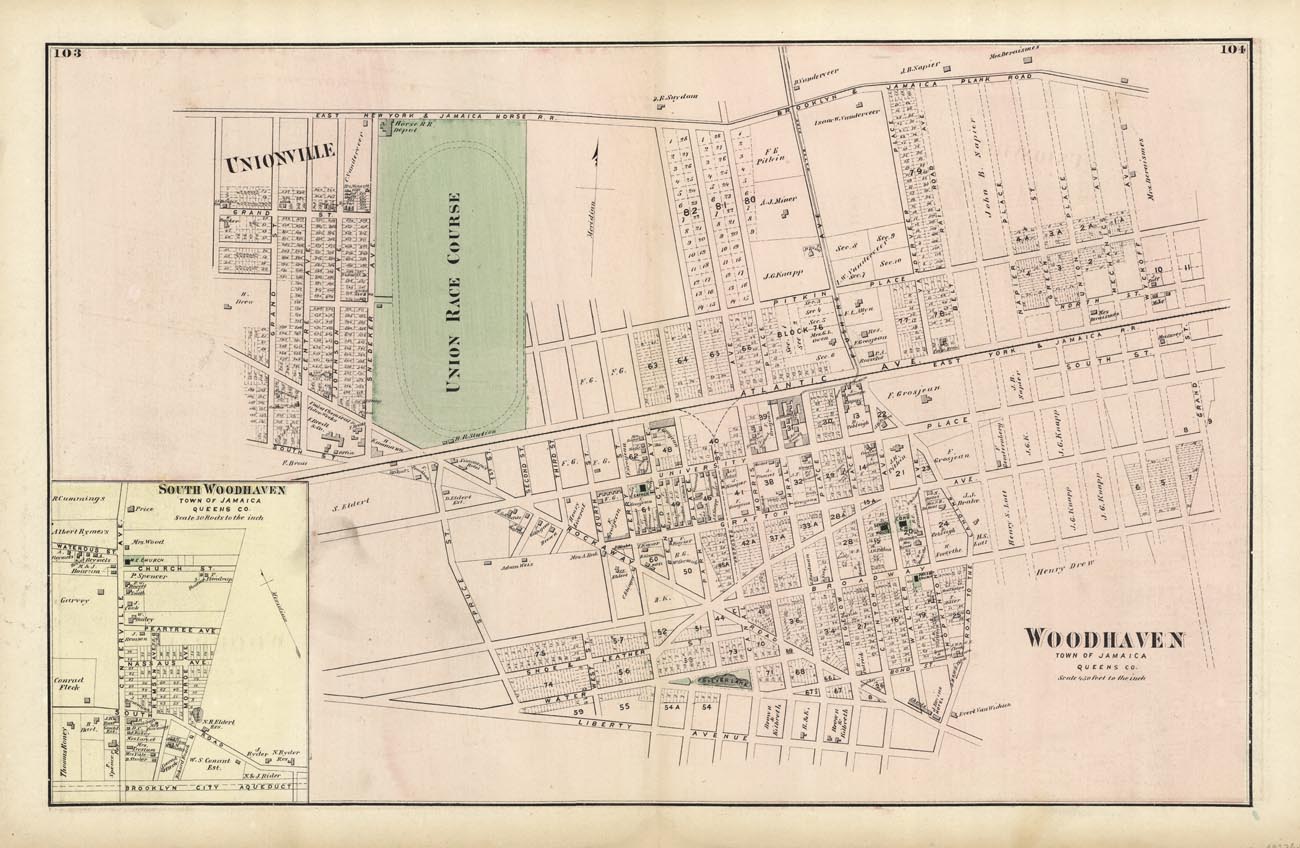
ARTIST: F. W. Beers
PUBLISHER: Published by Beers, Comstock & Cline, New York.
MEDIUM: Hand colored engraving.
DATE: 1873
EDITION SIZE: Paper size 15 5/8 x 24" (397 x 610 mm)
DESCRIPTION: A detailed map from "Atlas of Long Island, New York. From recent and actual surveys and records." Many land owners names are given. Woodhaven was settled in the mid-1700's as a farming community by the Ditmar, Lott, Wyckoff, Suydam, and Snediker families. One of the greatest Revolutionary War Battles occurred in Woodhaven. John Pitkin developed the eastern part as a worker's community and named it Woodville in 1835. In 1853 the residents voted to change the name to Woodhaven. There is an inset of South Woodhaven included.
ADDITIONAL INFO:
CONDITION: Good condition and color save for toning and some tear in the lower margin.
REFERENCE:


 Login / Register
 Basket
![Adams. [and] Hancock. [Towns of].](https://oldprintshop.com/uploads/jpg/24298_productthumb.jpg)