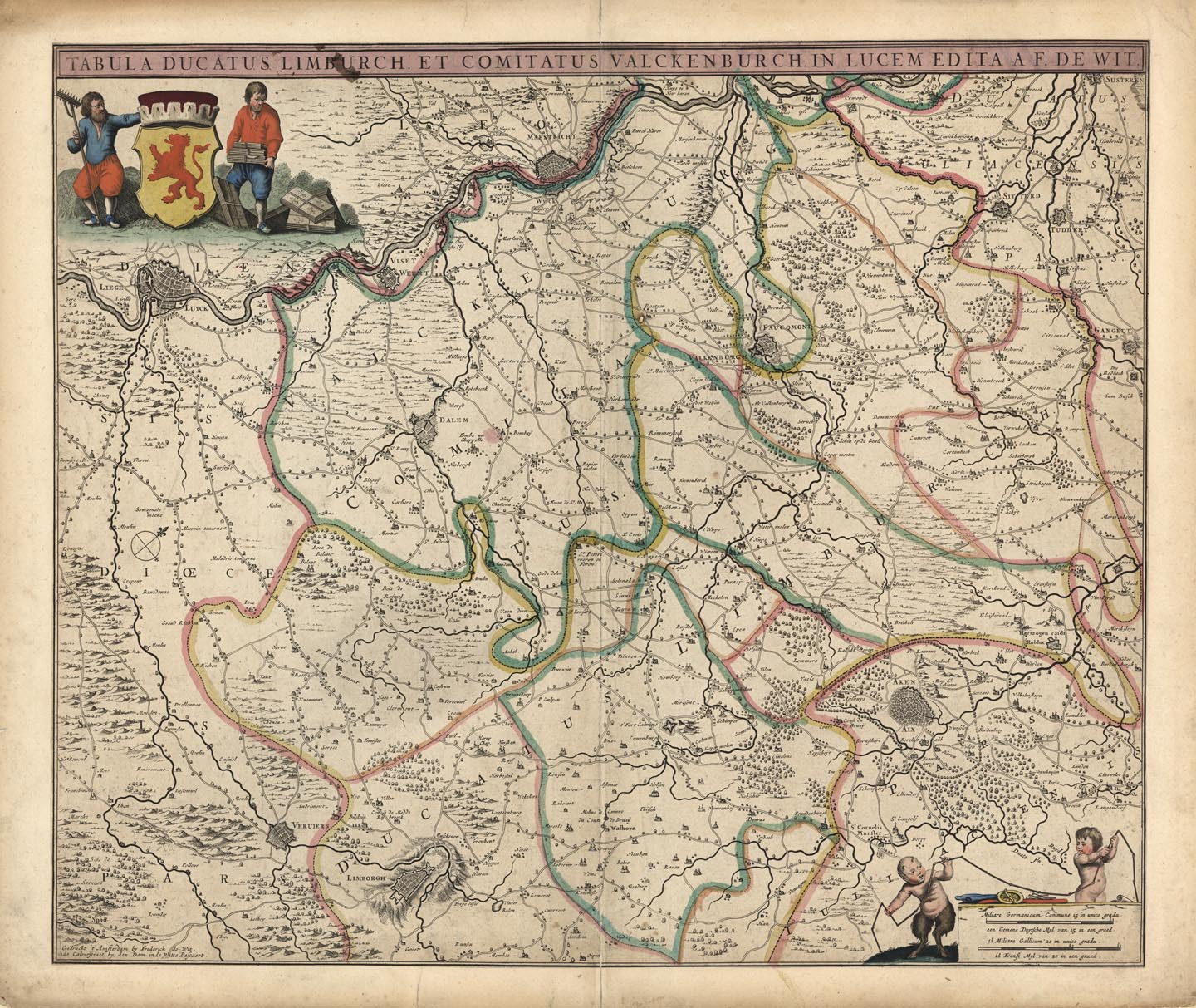
ARTIST: Frederick de Wit
PUBLISHER: Published by Frederic de Wit, Amsterdam..
MEDIUM: Copper engraving, hand colored,
DATE: c. 1680.
EDITION SIZE: 18 3/8 x 21 3/4" (466 x 552mm).
DESCRIPTION: Map of Limburg, today split between Belgium and the Netherlands. Maestricht appears near the top, Liege and Limburg to the left.
ADDITIONAL INFO:
CONDITION: Good condition with original outline color save repaired centerfold and margins.
REFERENCE:


 Login / Register
 Basket