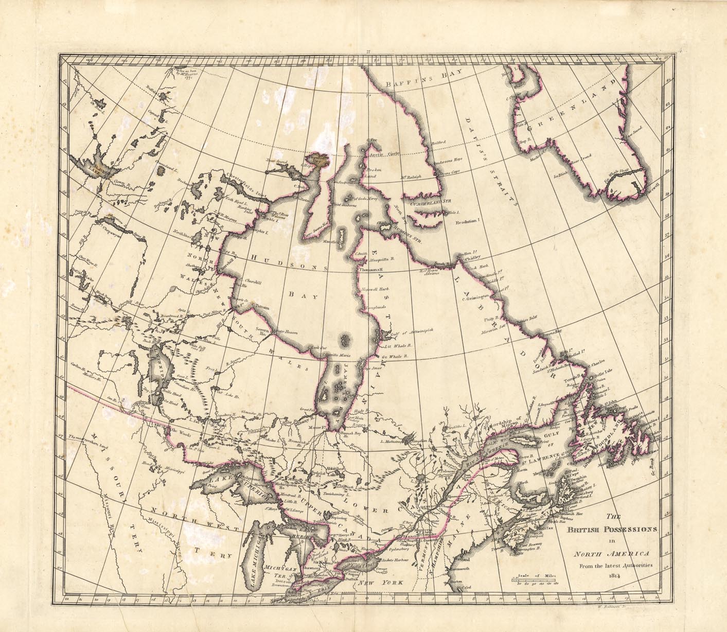
ARTIST: Mathew Carey
PUBLISHER: Published by Mathew arey, Phildelphia.
MEDIUM: Copper engraviing, hand colored,
DATE: 1814.
EDITION SIZE: Image size 14 7/8 x 16 3/4" (379 x 427 mm).
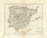
DESCRIPTION: From Carey's "General Atlas." Carey was America's first and most important early atlas publisher, issuing editions from 1795 to 1818. This map depicts Canada, or British America, with a concentration on the area north of the Great Lakes between Great Slave Lake and the Atlantic Ocean. Engraved by W. Robinson.
ADDITIONAL INFO:
CONDITION: Good condition and color save for remnants of old stains and printer's creases.
REFERENCE: Phillips, Atlases, 722,


 Login / Register
 Basket