ARTIST: J. H. Colton
PUBLISHER: Published by G. W. & C. B. Colton, 172 William St, New York.
MEDIUM: Engraving,
DATE: 1855-70.
EDITION SIZE: Image size 12 3/4 x 15 1/4" (322 x 388 mm) plus margins.
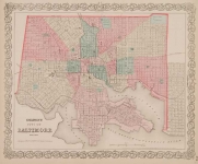
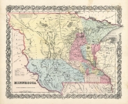
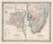
DESCRIPTION: A fine separately pocket map of the state. Identifies railroads, roads and canals. Each county is colored separately. The inset is a plan of Charleston, vicinity and harbor and a sub-inset of Fort Sumter. Surrounded by a scrollwork border which is different from what is normally seen.
ADDITIONAL INFO: Retains but removed from original hard covers.
CONDITION: Generally in good condition. There is some overall time toning and minor stains. Original handcoloring.
REFERENCE:


 Login / Register
 Basket