PUBLISHER: Printed for Robt. Sayer at No. 53 in Fleet Street, & Tho. Jefferys at the Corner of St. Martins Lane.
MEDIUM: Copper plate engraving,
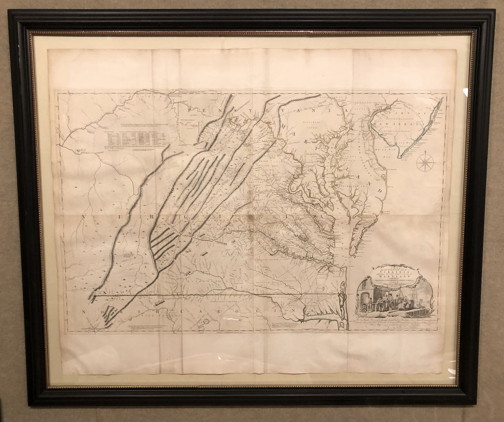
DATE: 1775.
EDITION SIZE: Four-sheet map, joined. 31 x 48 1/4" (78.7 x 122.6 cm) plus margins.
DESCRIPTION: Best known today as the Fry and Jefferson map. This important map of Virginia was commissioned by the English Lords of Trade, who in 1750 required each colony to conduct a comprehensive survey. Joshua Fry, a mathematician, and Peter Jefferson, a surveyor and father of Thomas Jefferson, were appointed to execute the commission. The resulting map is highly detailed, giving roads, ferry crossings, settlements, and names of many of the rivers and creeks. It is also the first map to depict the general configuration of the Appalachian and Allegheny mountain ranges. The cartouche depicts an image of the Virginia tobacco trade. The map was first issued in 1751. Other editions were done in 1755 onward through 1794. This particular map is from the 1775 edition and likely appeared in Thomas Jefferys' "The American Atlas."
ADDITIONAL INFO: Framed to museum quality standards
CONDITION: Good condition. Original outline color
REFERENCE: Pritchard-Taliaferro, Degrees of Latitude, #30, state 6;Tooley, America, #87f; Cumming, Southeast 281; Stephenson/ McKee, map II-21A-D, p. 83.


 Login / Register
 Basket