ARTIST: Ithamar Berthrong
MEDIUM: Color photo-lithograph,
DATE: 1907..
EDITION SIZE: Image size 20 1/4 x 16 7/8" (51.5 x 42.8 cm)
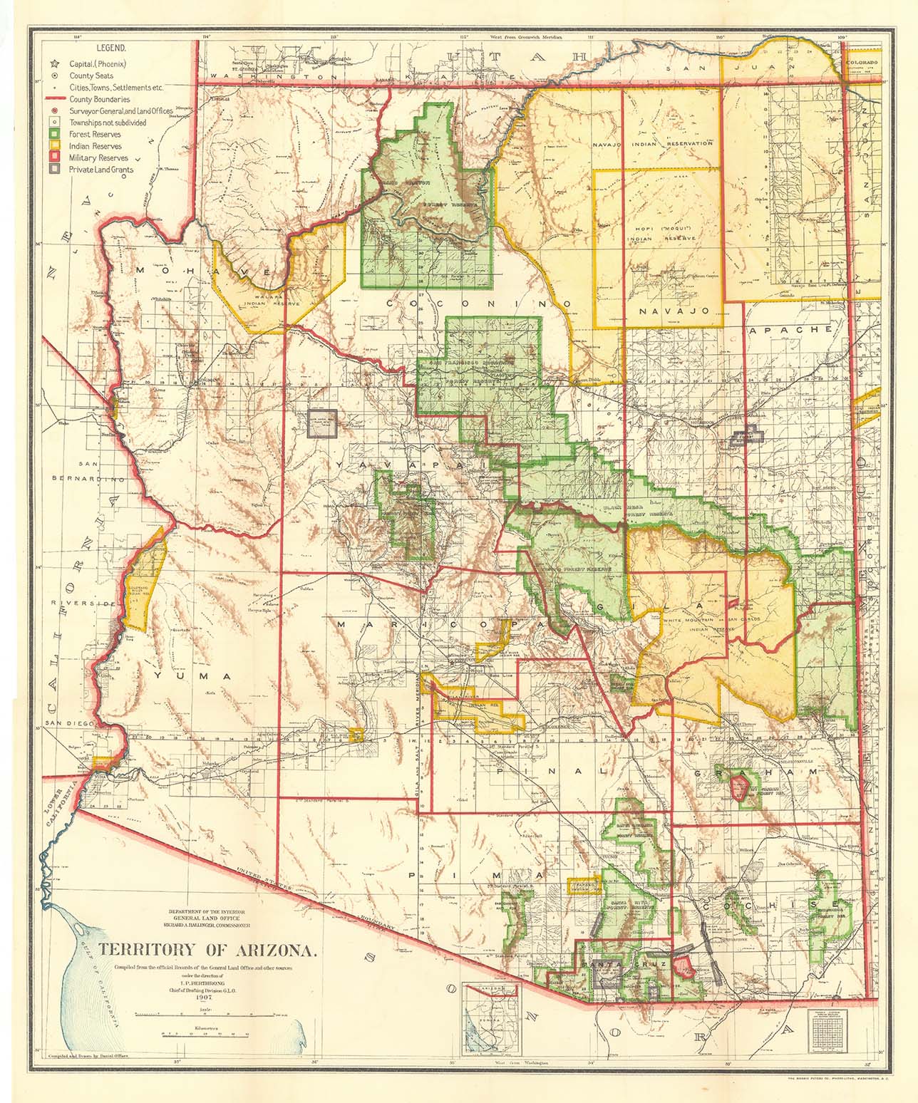
DESCRIPTION: A colorful and informative map of Arizona in territorial times.<br><br> The map was issued by the Department of the Interior, General Land Office and compiled from official records under the direction of I.P. Berthrong, chief of the drafting division. Printed by Harris Peters Co. , Photo-Litho., Washington, DC..<br><br> The map shows county boundaries and seats, Indian reservations, rail roads, forest and military preserves, private land grants, as well as topographical information.
ADDITIONAL INFO:
CONDITION: Very good condition and color.
REFERENCE:


 Login / Register
 Basket