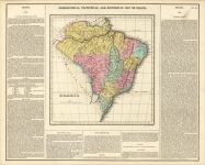
ARTIST: Fielding Lucas, Jr.
PUBLISHER: Published by H. C. Carey & I. Lea, Philadelphia.
MEDIUM: Copper engraving,
DATE: 1822.
EDITION SIZE: Image size 16 1/2 x 20 5/16" (420 x 517 mm) inclduing text.
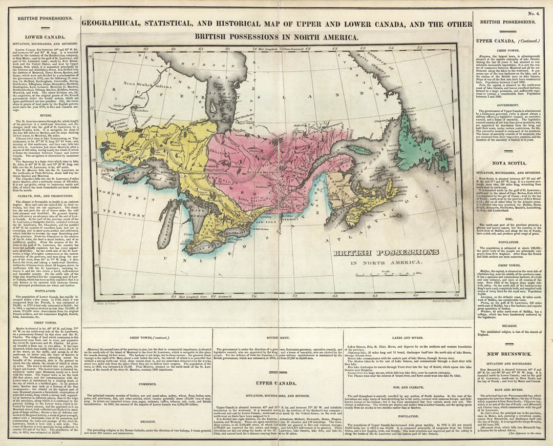
DESCRIPTION: Map from "A Complete Historical, Chronological and Geographical American Atlas, . . ." One of America's most important early atlases, its maps feature surrounding text of economic, political, social, and historical data. <br><br>
ADDITIONAL INFO:
CONDITION: Good condition. Original outline hand coloring.
REFERENCE:


 Login / Register
 Basket


![Geographical, Statistical, and Historical Map of the United Provinces of South America. [Argentina]](https://oldprintshop.com/uploads/jpg/23531_productthumb.jpg)