Price: $1,200.00
SKU: 64130
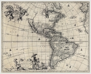
ARTIST: John Ogilby
PUBLISHER: Published by Ogilby, White Fryers, London.
MEDIUM: Copperplate engraving,
DATE: 1671.
EDITION SIZE: Image size 17 x 20 7/8" (432 x 532 mm).
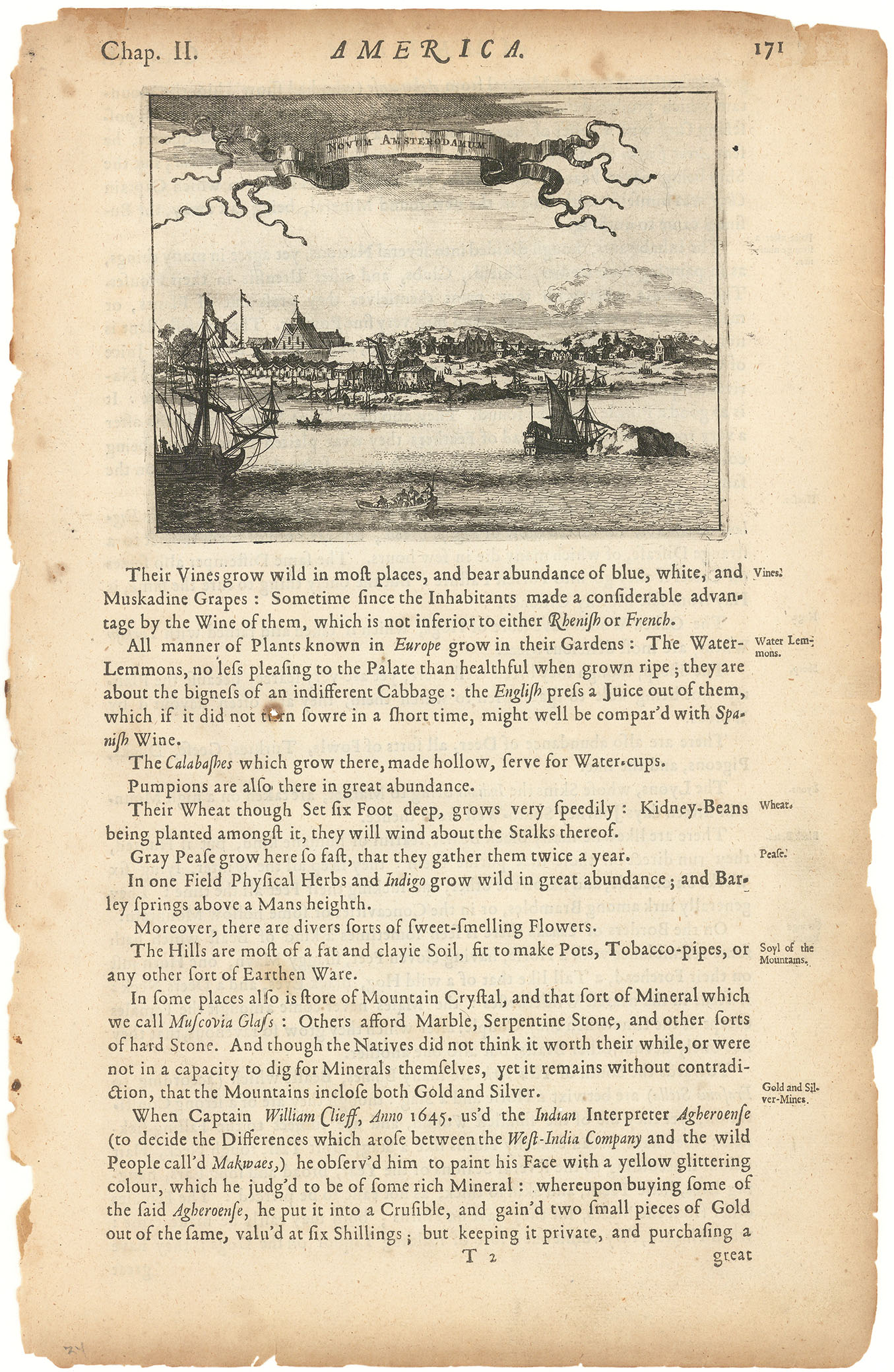
DESCRIPTION: This is the earliest detailed English map of Jamaica. It had a significant influence on subsequent maps. Based on surveys by John Man, Jamaica's surveyor general, Ogilby's map divides the island into named precincts and notes major cities and plantations. A large inset below lists the plantations and indicates whether they produce cocoa, indigo, sugar and/or cotton. On either side is a decorative title cartouche and a mileage cartouche adorned with putti. This is one of the few original maps from Ogilby's "America."
ADDITIONAL INFO:
CONDITION: Good condition with minor repair to centerfold in top margin; traces of original folds.
REFERENCE:


 Login / Register
 Basket