Price: $50.00
SKU: 68577
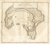
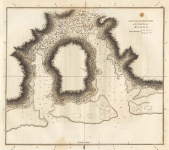
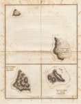
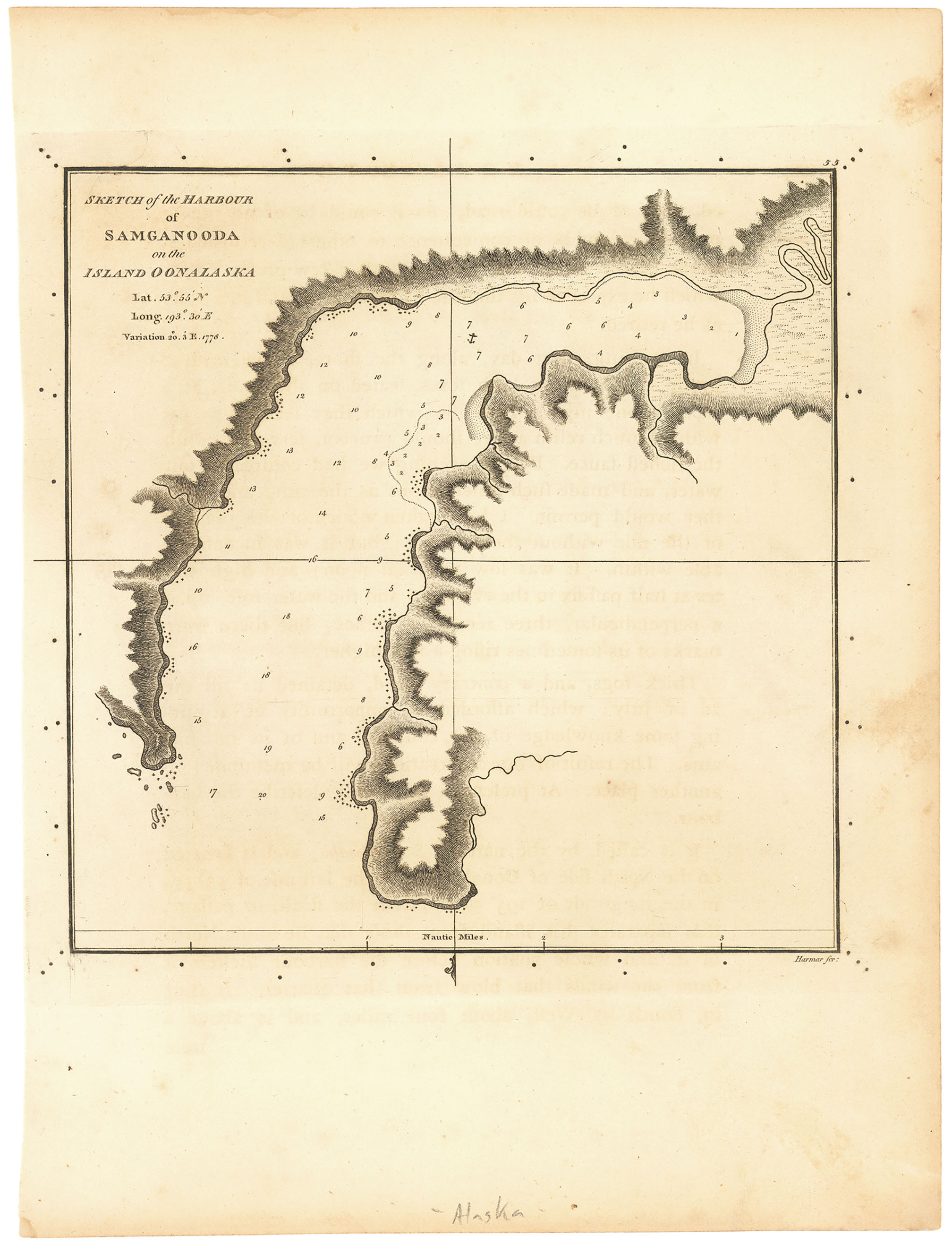
ARTIST: Henry Roberts
PUBLISHER: Published by Order of the Lords Commissioners of the Admiralty. London. 1784.
MEDIUM: Copper plate engraving,
DATE: 1784
EDITION SIZE: 10 x 7 1/2" (255 x 191 mm) plus margins.
DESCRIPTION: This chart was surveyed by Lieutenant Henry Roberts was the Masters Mate on Cook's third voyage and was given the task of compiling the surveys for the trip. This chart appeared in; "A Voyage to the Pacific Ocean... for making discoveries in the Northern Hemisphere... Performed under the direction of Captains Cook, Clerke, and Gore, in his Majesty's ships the Resolution and Discovery. In the years 1776, 1777, 1778, 1779, and 1780."
ADDITIONAL INFO:
CONDITION: Good condition. Black & white.
REFERENCE:


 Login / Register
 Basket