Price: $325.00
SKU: 69936
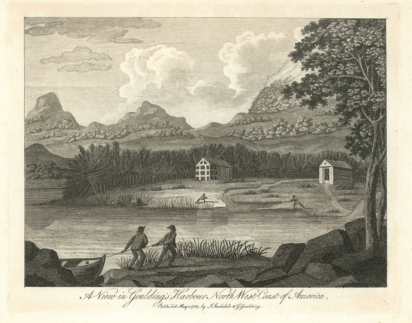
ARTIST: John Stockdale
PUBLISHER: Published in Germany.
MEDIUM: Copper plate engraving,
DATE: 1800
EDITION SIZE: image size 16 x 18 1/4" (40.5 x 46.4 cm) plus margins.
DESCRIPTION: This finely detailed 1800 German map of the eastern United States was published in Reisen durch die Staaten von Nordamerika, the German edition of Isaac Weld’s celebrated travel narrative. Adapted closely from John Stockdale’s 1798 map, it depicts the region from the Province of Maine to North Carolina, with a large inset of Georgia and South Carolina. Handcolored and rich in early American geography, the map notes key settlements, developing roadways, and frontier areas such as Kentucky and the Western Territory. Weld’s exploratory route is marked, and small icons identify the villages of “Christian Indians.” As one of the earliest illustrated amateur travel accounts of North America, Weld’s work captured widespread European interest, and this map stands as a vivid visual record of the young republic’s landscape at the close of the 18th century.
ADDITIONAL INFO: This piece is in a 18.25 x 20.25 archival mylar for handling.
CONDITION: Fair condition. Hairline lower left margin due to binding. Hand colored.
REFERENCE:


 Login / Register
 Basket
")