Price: $350.00
SKU: 73976
PUBLISHER: Published by E. Belcher Hyde, 97 Liberty St. Brooklyn.
MEDIUM: Stone engraving,
DATE: 1902
SIZE: Image size 24 1/4 x 34 1/2" (61.5 x 87.5 cm
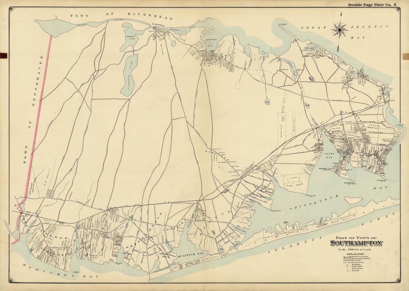
DESCRIPTION: This map shows an area from Eastport to Good Ground, aka Hampton Bays, northward to Riverhead. Includes the villages of Remsenburg, Quiogue, Quogue, East Quogue and Ponquogue. Notes building owners, lots and structures. This map appeared in Hyde's very scarce oversized "Atlas of Suffolk County Long Island, New York... South Side - Ocean Shore.”
ADDITIONAL INFO:
CONDITION: Good condition, original color.
REFERENCE:



 Login / Register
 Basket