Price: $750.00
SKU: 6977
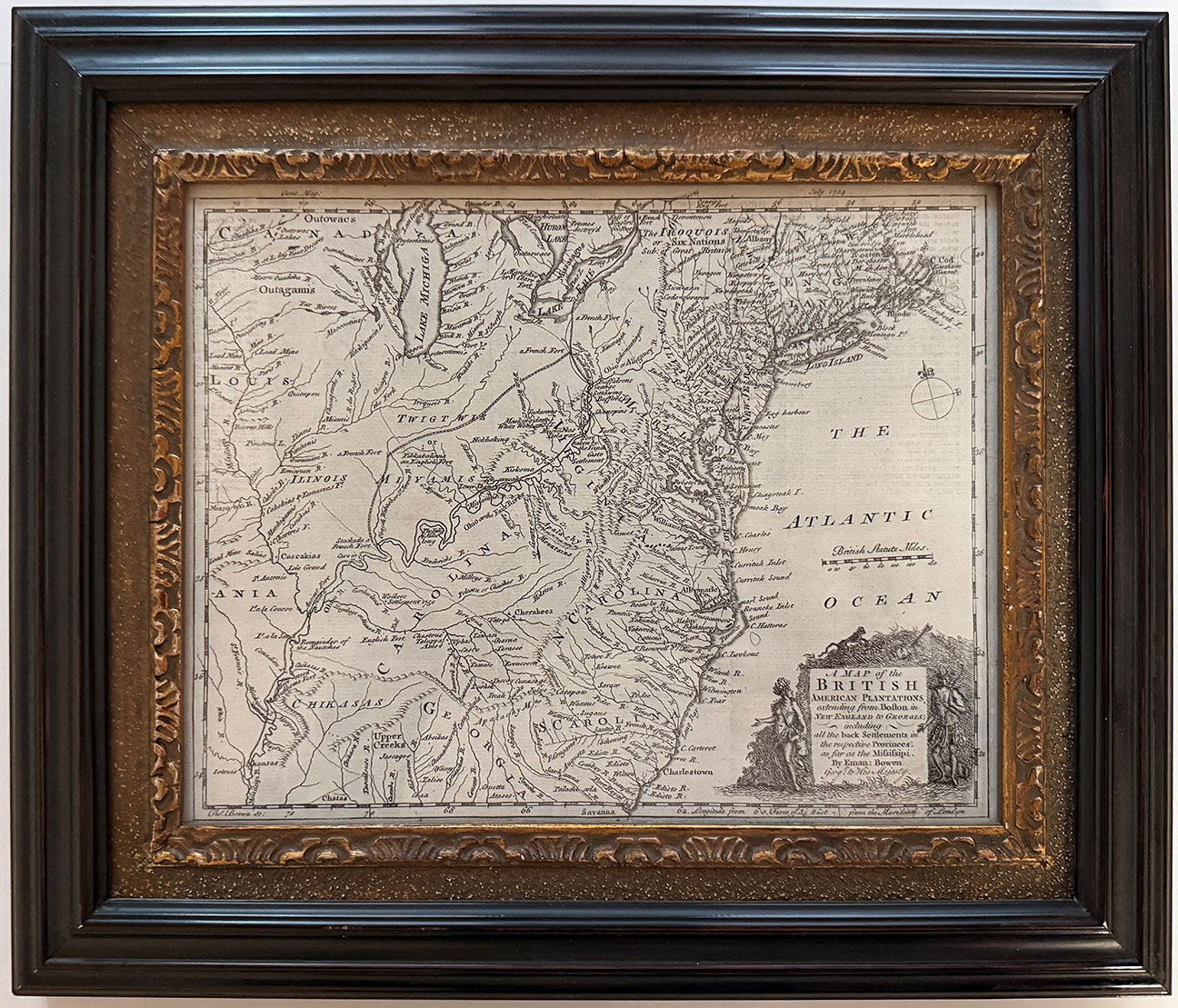
ARTIST: Emanuel Bowen
MEDIUM: Handcolored copper plate engraving,
DATE: 1748
EDITION SIZE: Image size 14 1/2 x 17 5/8" (36.8 x 44.8 cm).
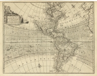
DESCRIPTION: A fine map from John Harris' "A Complete Collection of Voyages and Travels". The Carribean and southeast U.S. are well detailed. Annotations describe King Charles II's charter of 1665 to the Earl of Clarendon, Duke of Albermarle, etc., establishing the Carolina Colony. Another note identifies Columbus' landfall on St. Salvador or Cat Island in 1492. A third note addresses the taking of the Bahamas by the Spanish and French in 1703 and subsequent retaking of the island by the Captain Rogers for the British in 1717.
ADDITIONAL INFO:
CONDITION: Good condition. Black & white
REFERENCE:


 Login / Register
 Basket