Price: $85.00
SKU: 78906
PUBLISHER: Published by Rand, McNally & Co.
MEDIUM: Multi-color roto-lithograph,
DATE: 1907
EDITION SIZE: 12 1/2 x 19" (318 x 482 mm) plus margins.
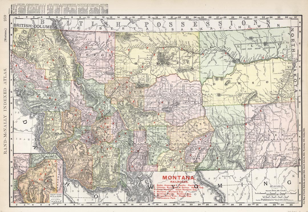
DESCRIPTION: A very detailed map that appeared in “Rand McNally & Company’s Business Atlas." Shows railroads, towns, cities, mountain ranges, rivers and some indian reservations of the time. Railroad lines are color keyed. In the lower left is an inset of the territory between Butte and Helena.
ADDITIONAL INFO:
CONDITION: Good condition and color
REFERENCE:



 Login / Register
 Basket