Price: $975.00
SKU: 80644
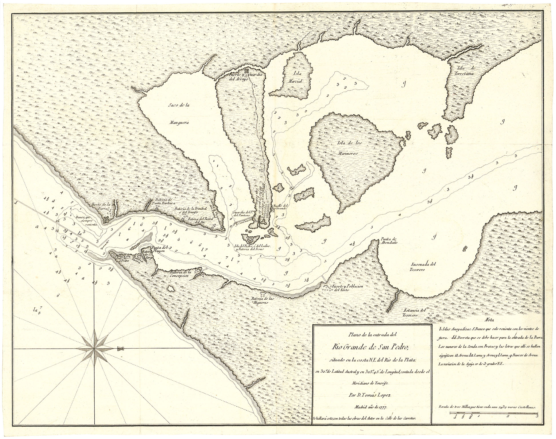
MEDIUM: Copper plate engraving,
DATE: 1782
EDITION SIZE: Image size, 14 3/4 x 15 3/8" (376 x 390 mm) plus margins.
DESCRIPTION: A rare chart focusing on the Turks and Caicos and lower Bahama islands. Quite detailed, tracts of ships noted as well as hundreds of ports and villages. The eartern tip of Cuba and northern coast of Hispaniola is shown. Tomas Lopez, was the official cartographer to the King of Spain during the second half of the eighteenth-century.
ADDITIONAL INFO:
CONDITION: Good condition save for faint waterstain in lower right corner. Black & white.
REFERENCE:


 Login / Register
 Basket