Price: $900.00
SKU: 80689
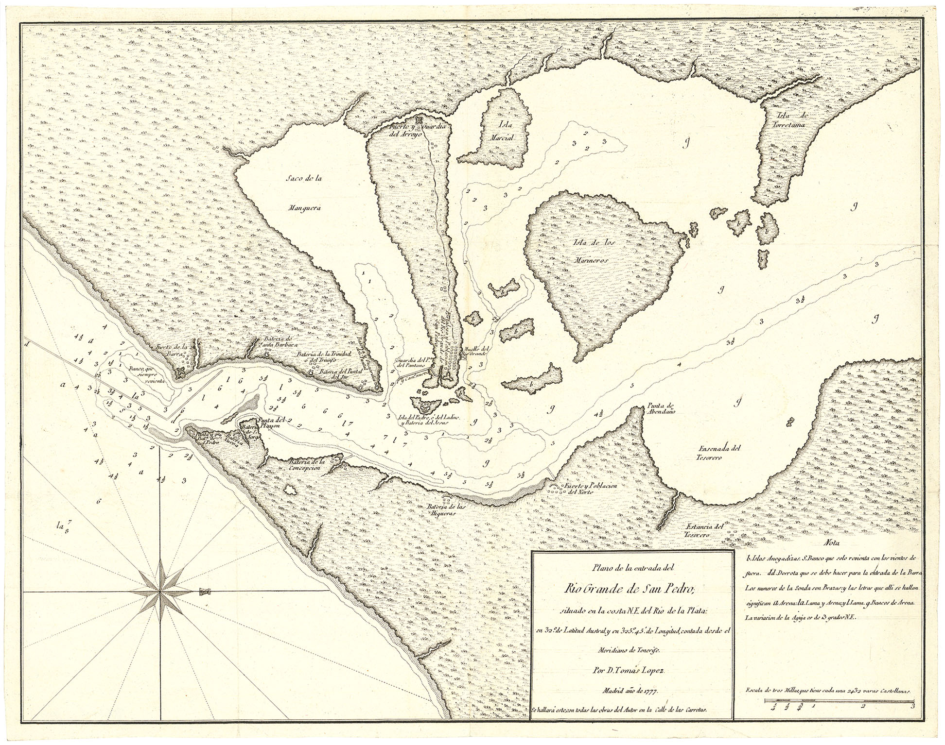
MEDIUM: Copper plate engraving,
DATE: 1781
EDITION SIZE: Image size, 14 1/4 x 15 1/2" (363 x 392 mm) plus margins.
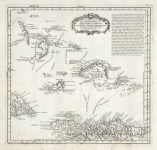
DESCRIPTION: A rare and richly detailed separately issued chart of the island of Martinique, this 1781 map—"Carta de la Isla de la Martinica"—was created by Don Tomás López de Vargas Machuca, one of the most respected cartographers of the Spanish Enlightenment. Serving as the official geographer to the King of Spain, López's work is marked by its precision and scholarly rigor, and this particular map is no exception. Drawn from the best available sources and issued during a period of heightened European colonial activity in the Caribbean, the chart offers a remarkable glimpse into the island’s topography and settlement patterns during the late 18th century. This copperplate-engraved map captures the full sweep of Martinique’s mountainous terrain, with meticulous attention given to the island’s towns, villages, roads, rivers, and even windmills—each element carefully inscribed to convey both geographic and economic significance. Coastal inlets and harbor depths are rendered with clarity, reflecting the strategic maritime importance of Martinique during the Age of Sail. The layout not only communicates geographic data but also subtly reflects the imperial interests of Spain in a region long dominated by French colonial rule, making it an exceptional artifact of political as well as cartographic history. Highly desirable for its scarcity and historical depth, this map stands as a testament to López’s stature in the world of Enlightenment-era cartography. Far more than a decorative object, it is a document of imperial ambition, scientific inquiry, and economic aspiration. Its elegant engraving and uncommon level of detail make it a distinguished addition to any serious collection of Caribbean, colonial, or 18th-century cartography.
ADDITIONAL INFO: This piece is in a 18 x 25.5 inch archival mylar for handling.
CONDITION: Very good condition. Original outline hand coloring.
REFERENCE:


 Login / Register
 Basket