Price: $95.00
SKU: 82695
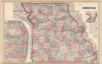
ARTIST: Ormando Gray
PUBLISHER: Published by Stedman, Brown & Lyon, Philadelphia.
MEDIUM: Stone engraving,
DATE: 1873
EDITION SIZE: Image size 12 x15" (304 x 381mm). plus margins,
DESCRIPTION: A decorative and well engraved map of Lake Superior and the Northern part of Michigan, from " "Gray's Atlas of the United States."
ADDITIONAL INFO:
CONDITION: Good condition and color.
REFERENCE:


 Login / Register
 Basket