Price: $295.00
SKU: 85883
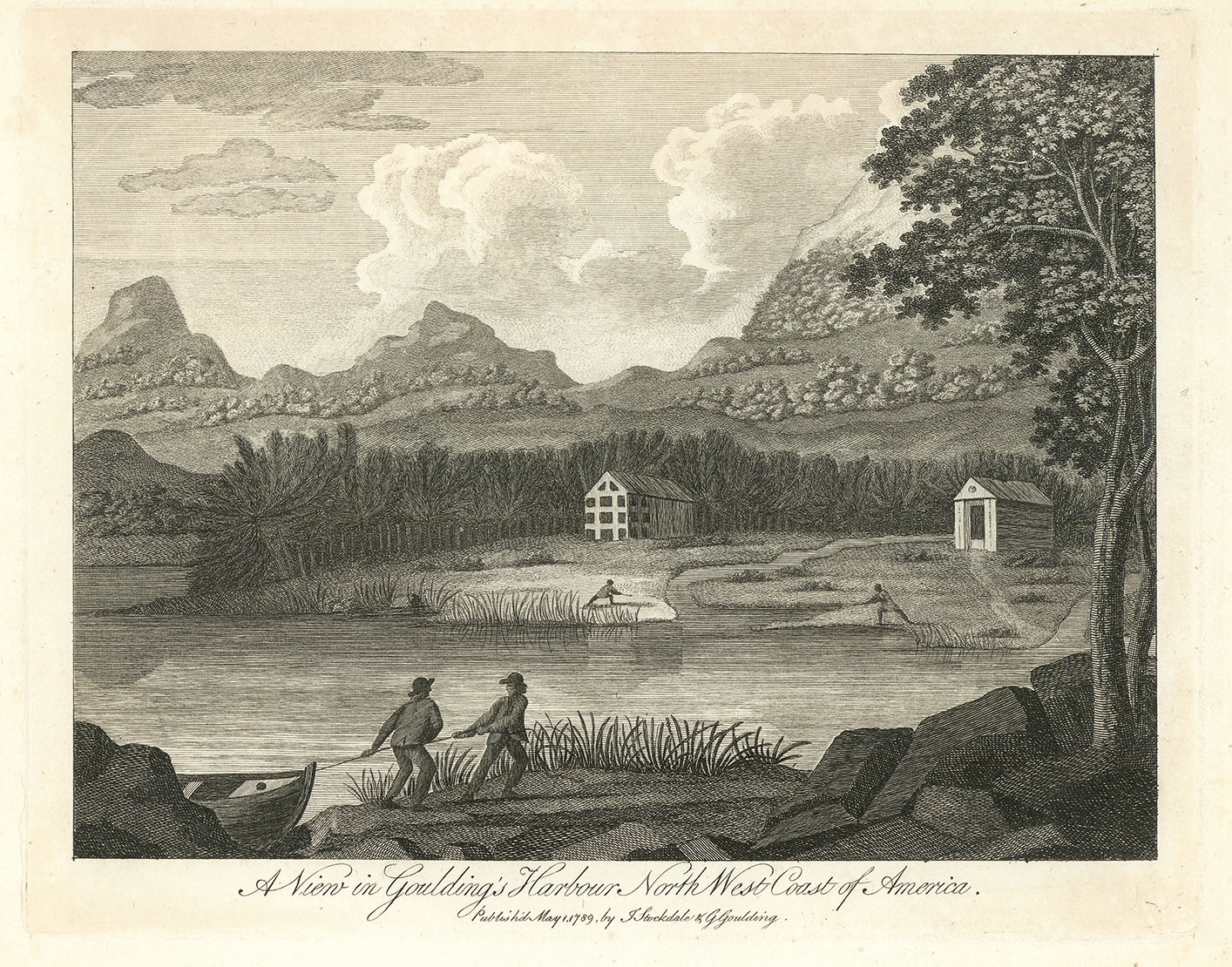
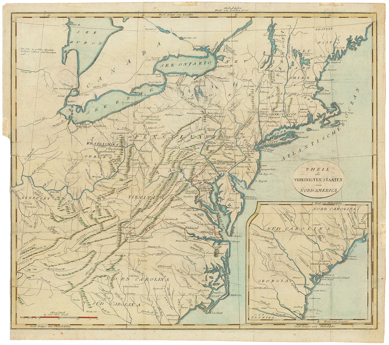
ARTIST: John Stockdale
PUBLISHER: Published by Issac Weld, London.
MEDIUM: Copper plate engraving,
DATE: 1798
EDITION SIZE: Image size 16 x 18 1/4" (40.5 x 46.4 cm) plus margins.
DESCRIPTION: This map offers a detailed view of the young United States in the years following the Revolutionary War, with particular attention to the eastern seaboard from the “Province of Main” down to the Carolinas. A large inset focuses on Georgia and South Carolina, extending to the St. Mary’s River. The map reaches west to the junction of the Kentucky and Ohio Rivers, naming Kentucky but omitting Ohio and Tennessee, which had yet to be formally defined. It notes territories west of the Appalachians, early Native American settlements, especially near Lake Erie, and marks the locations of "Christian Indian" villages with dots. Weld’s travel route through Virginia is also traced, adding a layer of exploration to this geographic and cultural snapshot of the post-colonial United States.
ADDITIONAL INFO: This piece is in a 17 3/4 x 20 inch archival mylar for handling.
CONDITION: Good condition and margins save for some professionally repaired splits along fold lines. Black & white.
REFERENCE: McCorkle, "New England" #798.5


 Login / Register
 Basket