Price: $1,500.00
SKU: 87291
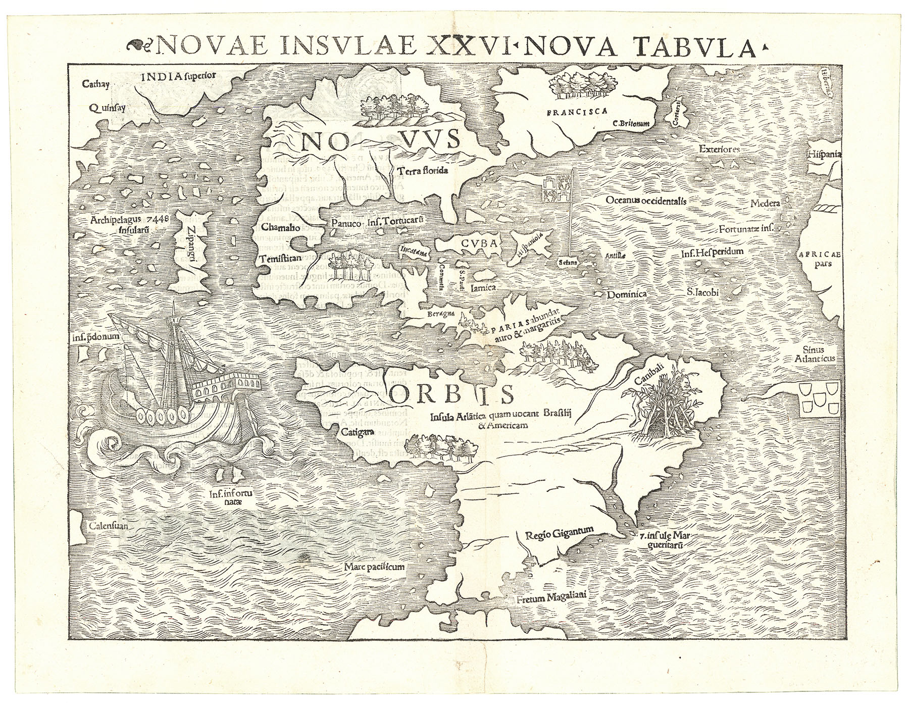
ARTIST: Sebastian Munster
PUBLISHER: Published by Heinrich Petri, Basel.
MEDIUM: Woodcut,
DATE: c.1588.
EDITION SIZE: Image size 12 1/8 x 14" (30.8 x 36. cm) plus upper title and margins.
DESCRIPTION: Munster's famous old world map based on the cartography of Ptolemy. The continents are all primitively shaped and depicted as a great southern continent “Terra Incognita Secundum Ptolemaeum.” In the heavens surrounding the map are 12 identified wind heads, left to right: Zephyrus, Corus, Circius, Septentrio, Aquilo, Cecias, Subsolanus. Lower, left to right: Lybs Africo, Lybonotus, Auster, Euroauster, Vulturnus. On the verso is a decorative woodcut and a geographical diagram.
ADDITIONAL INFO: A very nice impression of the map.
CONDITION: Very good condition. Black & white.
REFERENCE: #162 in The Mapping of the World by Rodney Shirley.


 Login / Register
 Basket