Price: SOLD
SKU: 89679
ARTIST: Gerard Mercator
PUBLISHER: Published in Venice by Giovanni A. Magini
MEDIUM: Copper plate engraving,
DATE: 1596.
EDITION SIZE: Plate size 5 1/2 x 7 1/8" (14 x 18 cm) plus margins.
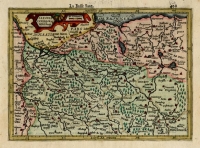
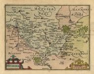
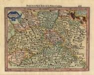
DESCRIPTION: "Universi Orbis Descriptio Ad Usum Navigantium" by Gerard Mercator is a captivating mariner's map of the world that traces its origins back to Mercator's influential world map created in 1569. This particular rendition, embraced by Giovanni Antonio Magini, showcases not just the geographical knowledge of the time but also the imaginative leaps mapmakers made. The map includes whimsical additions like a mysterious mountain range on a southern continent and a hopeful Northwest Passage at the opposite pole. What's more, it lacks the Great Lakes and doesn't yet depict California as an island—a common misconception in later maps. This map is sprinkled with both real and mythical places, from the accurately charted coastlines of North and South America, featuring regions like Florida and Norumbega, to the fantastical islands of Frieslandt and Irlant. <br><br> Gerard Mercator was more than just a cartographer; he was a pioneer who shaped the very way we view the world. His 1569 map introduced the innovative Mercator projection, which became crucial for navigation, allowing sailors to plot straight-line courses across the curved surface of the earth. Magini’s adaptation of Mercator’s work in his "Geographiae Universae" continued to circulate these revolutionary ideas, embedding them deeply into the fabric of navigational practices. This map not only guided explorers across uncharted waters but also influenced other mapmakers and geographers, spreading new knowledge and understanding across continents. <br><br> The impact of Mercator’s cartographic innovations, carried forward by maps like Magini’s, extends far beyond their utility at sea. They represent a key moment in the history of exploration, where the quest to chart the unknown world drove leaps in technology and understanding. This map is a testament to human curiosity and ambition, filled with the promise of new lands and the allure of mystery. It serves as a bridge between the known worlds and the imagined ones, between science and the stories we tell about the places we yearn to find. <br><br>
ADDITIONAL INFO: This piece is in a 7.25 x 10.5 inch archival mylar for handling.
CONDITION: Good condition save for small brown stain in upper left. B/W
REFERENCE: Shirley, R. "Mapping of the World" #196.


 Login / Register
 Basket

![Descriptio Corsicae Insulae [and] Descriptio Sardinae Insulae.](https://oldprintshop.com/uploads/jpg/53697_productthumb.jpg)