Price: $50.00
SKU: 91542
PUBLISHER: Published by Baskin, Forester & Co., Chicago.
MEDIUM: Three-color stone engraving,
DATE: 1876.
SIZE: Image size 16 1/4 13" (41 x 33 cm) plus margins.
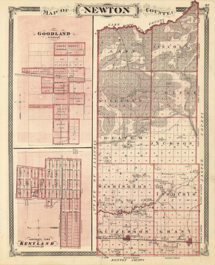
DESCRIPTION: A detailed map from the "Illustrated Historical Atlas of the State of Indiana." Included on the map are inset maps of the city of Goodl and Kentland. The map is framed in by a nice diamond pattern and heart border.
ADDITIONAL INFO:
CONDITION: Good condition.
REFERENCE:



 Login / Register
 Basket