Price: $125.00
SKU: 96961
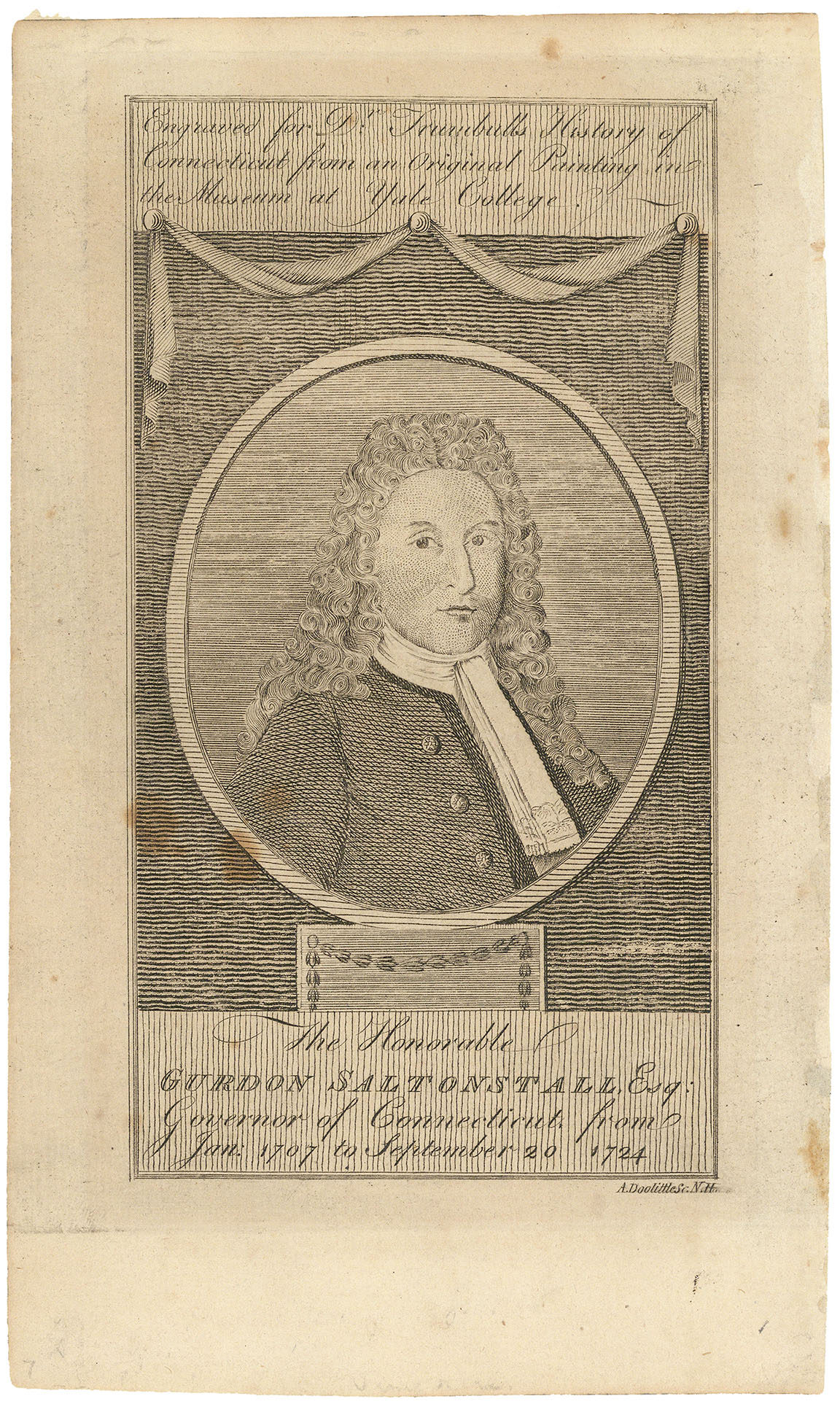
ARTIST: Amos Doolittle
PUBLISHER: Published by Thomas & Andrews
MEDIUM: Copper plate engraving
DATE: c.1796.
EDITION SIZE: image 3 1/4 x 5 5/8" (8.2 x 14.2 cm)
DESCRIPTION: A charming 18th century American imprint. This map appeared in the 1796 edition of Jedidiah Morse's "Geography Made Easy."
ADDITIONAL INFO: On right edge the plate is shown with a crack and two rivets holding it in place
CONDITION: Good condition. B/W
REFERENCE:


 Login / Register
 Basket