Price: $125.00
SKU: 8886
ARTIST: Samuel Augustus Mitchell
PUBLISHER: Published by Thomas, Cowperthwait & Co., Philadelphia.
MEDIUM: Engraving handcolored,
DATE: 1850
EDITION SIZE: Image size 14 3/8 x 11 5/8" (36.7 x 29.9 cm).
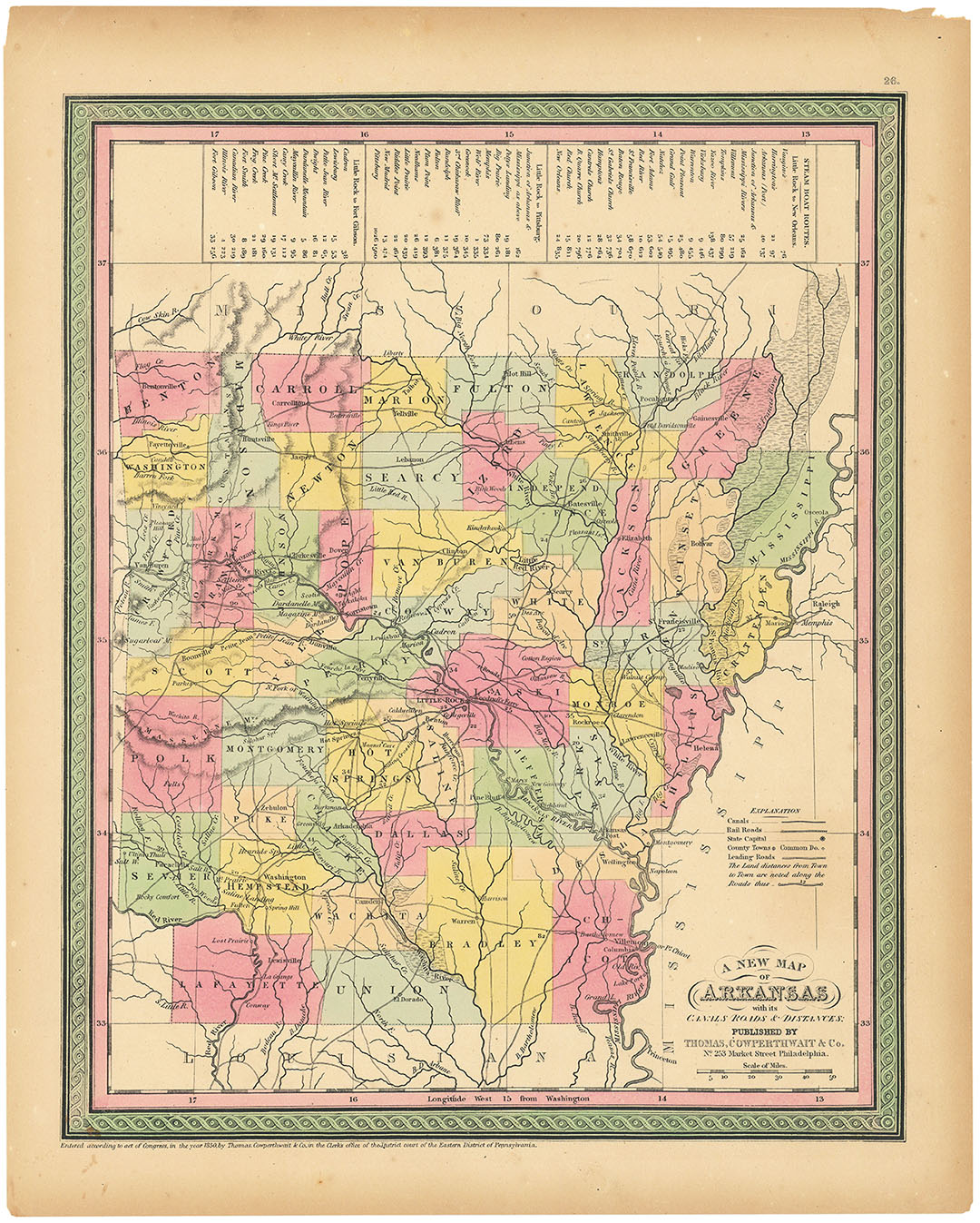
DESCRIPTION: Steam boat routes between Little Rock and such destinations as New Orleans and Pittsburg are detailed with distances in a chart along the top of the page. Published for "A New Universal Atlas".
ADDITIONAL INFO: This piece is in a 14 x 17.5 inch mat for handling.
CONDITION: Good condition and color. Some damage to the corners. Would be hidden by the mat if framed.
REFERENCE:



 Login / Register
 Basket