Price: $1,250.00
SKU: 99327
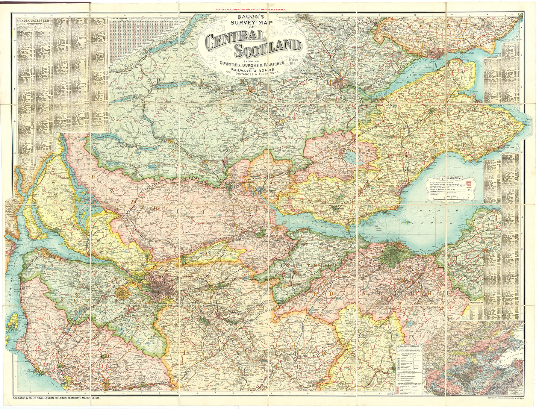
ARTIST: G. Bacon F.R.G.S.
PUBLISHER: Published by G.W. Bacon & Co. Ltd., Royal London Buildings, Deansgate, Manchester.
MEDIUM: Color lithograph
DATE: c.1910.
EDITION SIZE: Overall size 37 1/2 x 47" (95.2 x 119.8 cm)
DESCRIPTION: A large scale folding case map of the world shown on Mercators projection. Along the upper edge are shown forty six national flags. Surrounding the map are twenty three inset maps of various cities and important locations including the Panama and Suez canals, New York, San Francisco, Singapore, Hong Kong, Tokyo, Came Town, Sidney, Wellington, Bombay and Calcutta. Along the lower portion of the map is a universal time chart and descriptive legends including the principal British steam ship lines; the British Empire, chief geographical discoveries and events and estimated populations around the world.<br><br> A quite informative and handsome map.
ADDITIONAL INFO: Retains but removed from original covers
CONDITION: Very good condition and color.
REFERENCE:


 Login / Register
 Basket