Price: SOLD
SKU: 69342
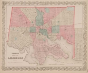
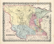
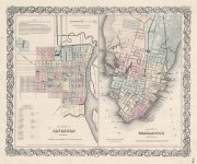
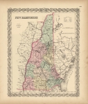
ARTIST: J. H. Colton
PUBLISHER: Published by J.H. Colton, 172 William St. New York.
MEDIUM: Engraving handcolored,
DATE: 1855-1860.
EDITION SIZE: 15 5/8 x 12 3/4" (49.6 x 32.5 cm) with decorative border.
DESCRIPTION: A decorative and well engraved map from "Colton's General Atlas." The map identifies territories, existing states, major cities, and rivers. <br><br> This map shows a Dakota Territory which encompasses all of current day Wyoming.
ADDITIONAL INFO:
CONDITION: Good condition and color.
REFERENCE:


 Login / Register
 Basket