Price: $1,500.00
SKU: 69509
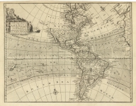
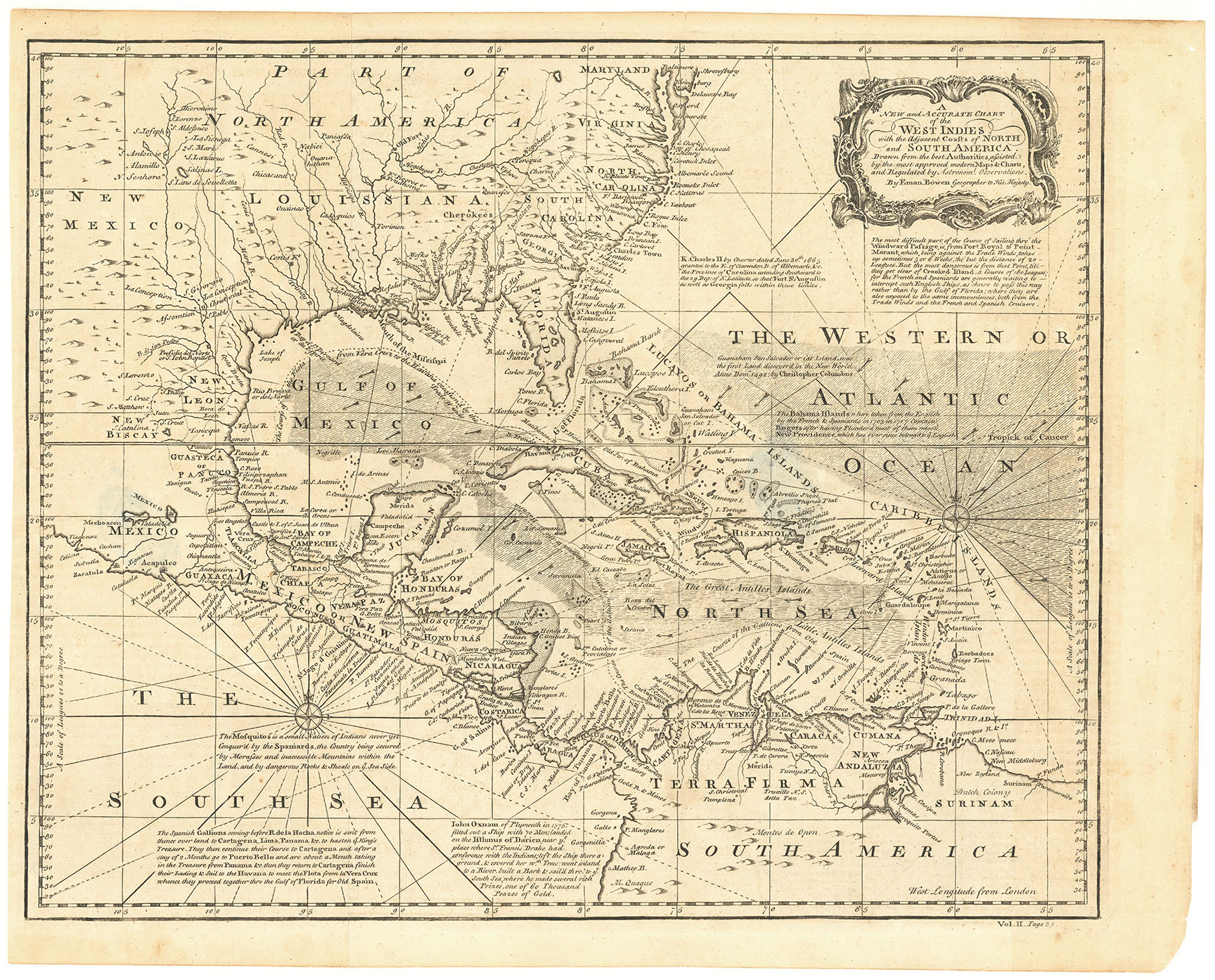
ARTIST: Emanuel Bowen
MEDIUM: Copper plate engraving,
DATE: 1747
EDITION SIZE: Image size 12 7/8 x 8 7/8" (325 x 226mm).
DESCRIPTION: A well engraved map of the Chesapeake Bay and surrounding regions. It gives many interesting annotations and place names, English Plantations, Black Water Plantations, and numerous early towns and villages. A key noted the triangles (tipies) for Indian Houses and Plantations and retangular blocks for English Plantations. Includes a decorative title cartouche and compass rose. This appeared in Bowen's "A Complete System of Geography...".
ADDITIONAL INFO: Nicely framed in a black and gold molding with a gilt edged mat. Overall framed size 22 x 17.75 inches
CONDITION: Good condition.
REFERENCE:


 Login / Register
 Basket