Price: $6,500.00
SKU: 87647
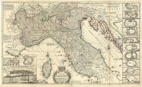
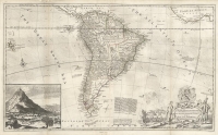
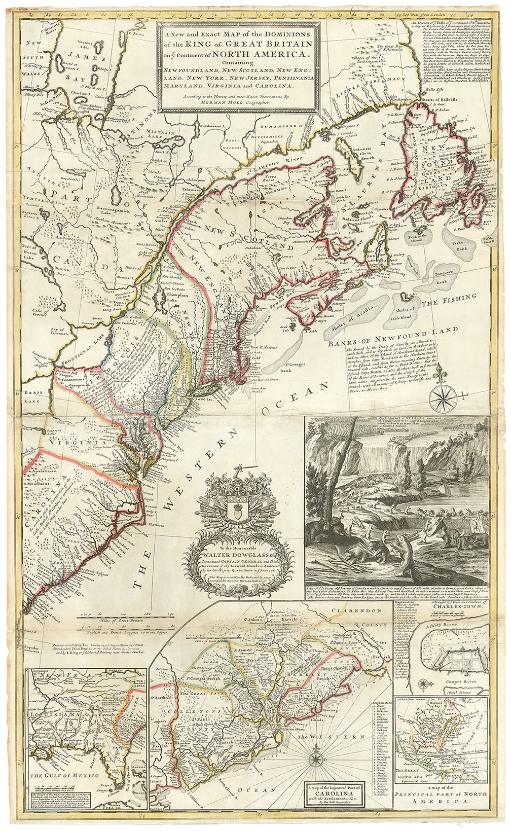
ARTIST: Hermann Moll
PUBLISHER: Printed for J. Bowles & Son. T. Bowles, P. Overton and John King.
MEDIUM: Copper plate engraving,
DATE: c.1717.
EDITION SIZE: Image size 22 x 38 1/4" (56.2 x 97.2 cm) plus margins.
DESCRIPTION: A fine large-scale, double hemisphere map of the world.<br><br> This map was produced by Hermann Moll, an important, late 17th, early 18th century London based mapmaker.<br><br> This double hemisphere map has a great deal of information delineated into it. It is one of the first to record prevailing wind directions based on scientific observation. And the direction of the ocean currents, that Moll gleaned from his esteemed contemporary Sir Edmond Halley. Each corner of the map features very detailed and elegant astronomical diagrams, including; the planetary systems according to both Ptolemy (geo-centric) and Copernicus (helio-centric) (with the addition of the path of a comet), the appearance of the Sun according to Athanasius Kircher; and the Appearance of the Moon according to Jean-Dominique Cassini. The five known planets are depicted as well, Saturn with its ring and Jupiter with four moons.<br><br> As to the cartography:<br> At the time, good sections of the world still needed to be discovered, surveyed and cultures understood. California is shown as an island, a prominent River of the West is "laid down according to the Baron Lahontan's discoveries," and most of the Arctic is labeled "Parts Unknown." In northeastern Asia, Iesso (Hokkaido) is shown to be part of Siberia with Company's Land lying just offshore. Only the western and northern coasts, and a bit of Diemens Land, are shown in Australia. Only a small bit of the west coast of New Zeeland is shown. Above the cusp is a northern polar projection.<br><br> Of particular interest is the vitriolic attack Moll made on his competitors, particularly the French cartographer, Nicolas Sanson (whose maps have been condemned and found to be notoriously false). Moll goes on to claim the Dutch maps are inaccurate and often illegal piracies.<br><br> There are ten known states of the map with this being the 4th.
ADDITIONAL INFO: Framed in a black & sanded spandrel molding. Overall framed size 29.5 x 46 inches.
CONDITION: Good condition save for some minor splitting along fold lines. Original outline hand coloring.
REFERENCE:


 Login / Register
 Basket