Price: $1,950.00
SKU: 103167
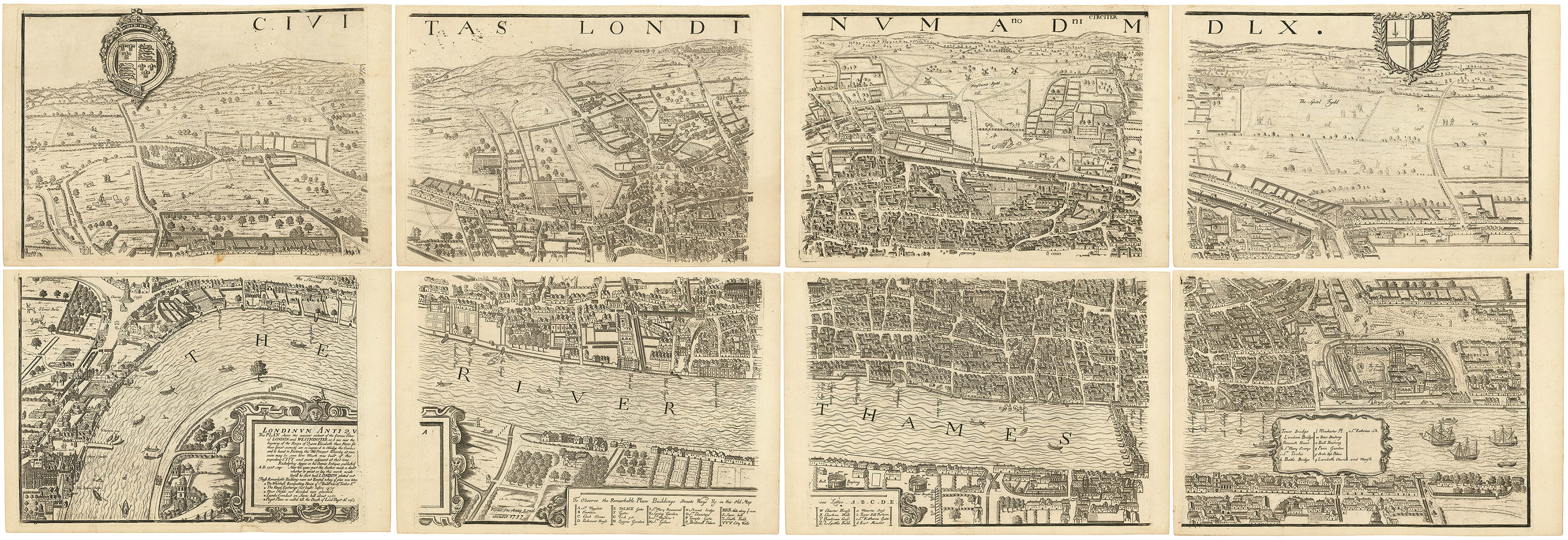
ARTIST: George Vertue
PUBLISHER: Drawn & Published by G. Virtue, Ano. Dom. 1747.
MEDIUM: Copper plate engraving.
DATE: 1747.
EDITION SIZE: Image size 21 x 27 1/2" (53.4 x 70 cm).
DESCRIPTION: A fine plan of White Hall and Scotland Yard on the River Thames.<br><br> This fascinating plan is based on a survey taken in King Charles’s Reign in 1680. It was redrawn and updated by George Vertue providing an up-to-date detailed survey and ground plot of the Royal Palace of White Hall, along with the lodgings and apartments belonging to their Majesties King Charles II and Queen Catherine. This historical survey provides a glimpse of the palace and its grounds as they existed in the middle of the 18th century. <br><br> The map intricately illustrates the layout of the palace grounds, including St. James's Park, the Bowling Green, the Privy Garden, and various other significant structures and locations. It is richly adorned with decorative elements, such as scrollwork, crests, and a detailed cartouche bearing the title at the top center.<br><br> Below the map is a numbered key identifying sixty-five locations marked on the map.<br><br> George Vertue (1684–1756) was an English engraver and antiquary, known for his detailed and historically significant engravings of English landmarks and portraits. He was a member of the Rose and Crown Club and the Society of Antiquaries.
ADDITIONAL INFO:
CONDITION: Good condition save for several short repaired tears along sheet edges. A nice impression.
REFERENCE:


 Login / Register
 Basket