Price: $225.00
SKU: 103865
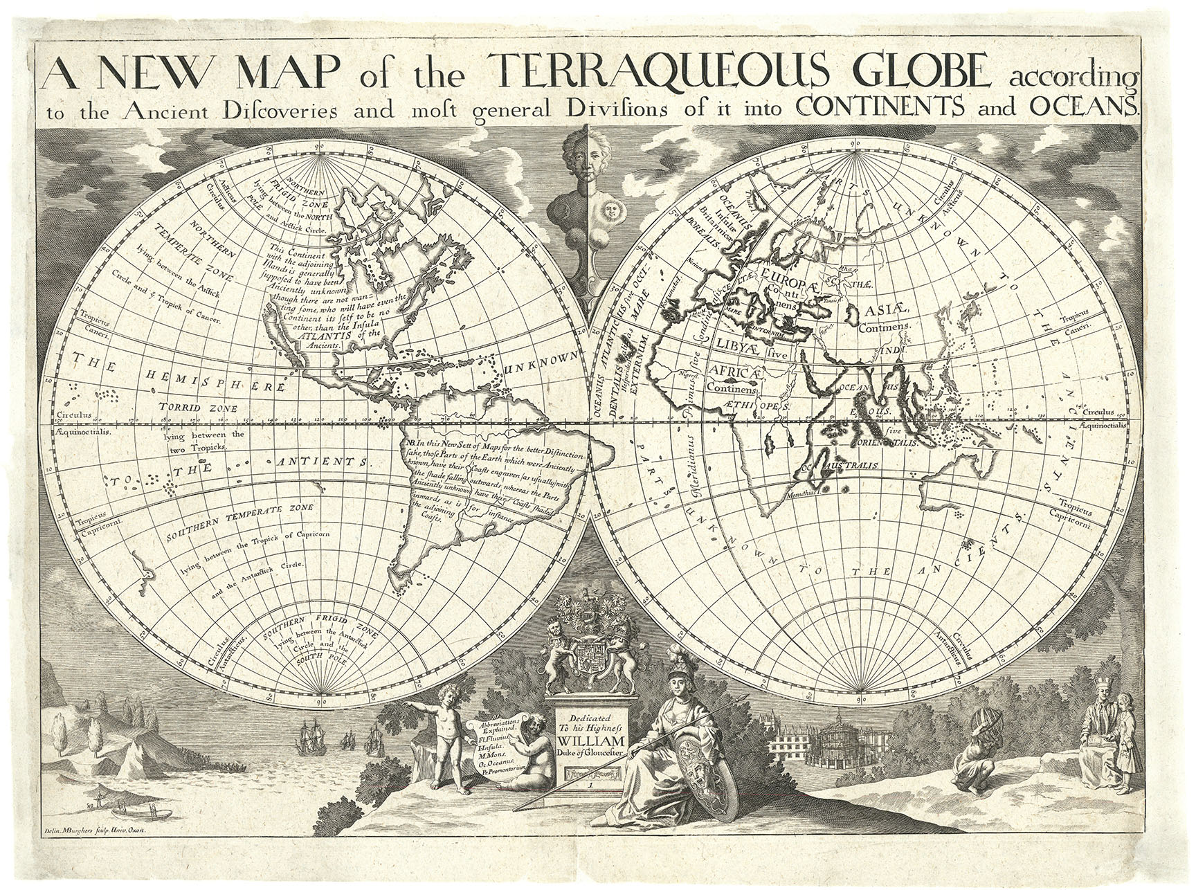
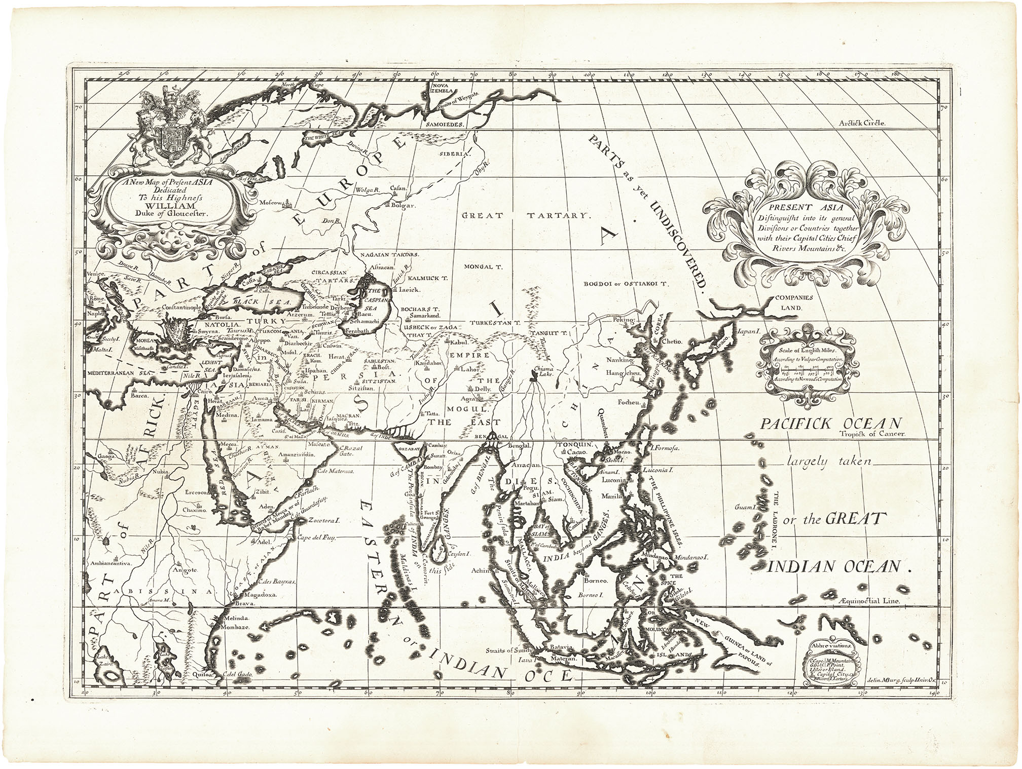
ARTIST: Edward Wells
MEDIUM: Copper plate engraving.
DATE: 1712
EDITION SIZE: Image size 14 x 18 7/8" (35.4 x 47.9 cm)
DESCRIPTION: Edward Wells map, or a series of three maps of the Eastern Mediterranean, the Holy Land and the whole of the Mediterranean. All these maps show places mentioned in the New Testament.<br><br> This map appeared in Wells atlas, "Historical Geography of the Old Testament." Edward Wells (1667–1727) was an English mathematician, geographer, and theologian.
ADDITIONAL INFO:
CONDITION: Good condition save for a small worm hold and faint damp staining in the lower central portion of the image. B/W
REFERENCE:


 Login / Register
 Basket