Price: $350.00
SKU: 105170
ARTIST: Claudius Ptolemy
PUBLISHER: Published by Francois Halma, Amsterdam.
MEDIUM: Engraving.
DATE: 1578 (1730)
EDITION SIZE: Image size 13 1/2 x 12 3/4" (34.4 x 32.2 cm
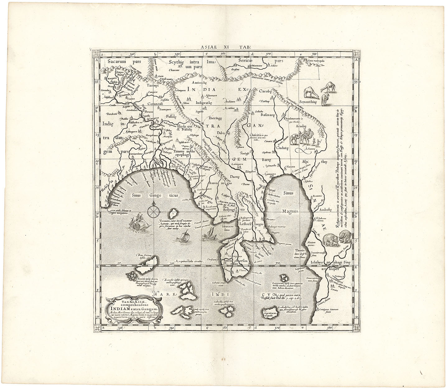
DESCRIPTION: Mercator's Ptolemaic map of India and south eastern Asia. First issued in the 1578 edition of Mercator's Geographia, based upon the works of Claudius Ptolemy.<br><br> The Himalayan Mountains stretch across the top of the map with Burma. along the right edge. Sailing ships, elephants and camels add a decorative element to the map. <br><br> First engraved and published in 1578 and reprinted until 1730.
ADDITIONAL INFO:
CONDITION: Good condition. B/W
REFERENCE:



 Login / Register
 Basket