Price: $400.00
SKU: 105234
ARTIST: James Bruce
MEDIUM: Engraving.
DATE: c.1790
SIZE: Image size 24 3/4 x 19 1/2" (63 x 49.6 cm)
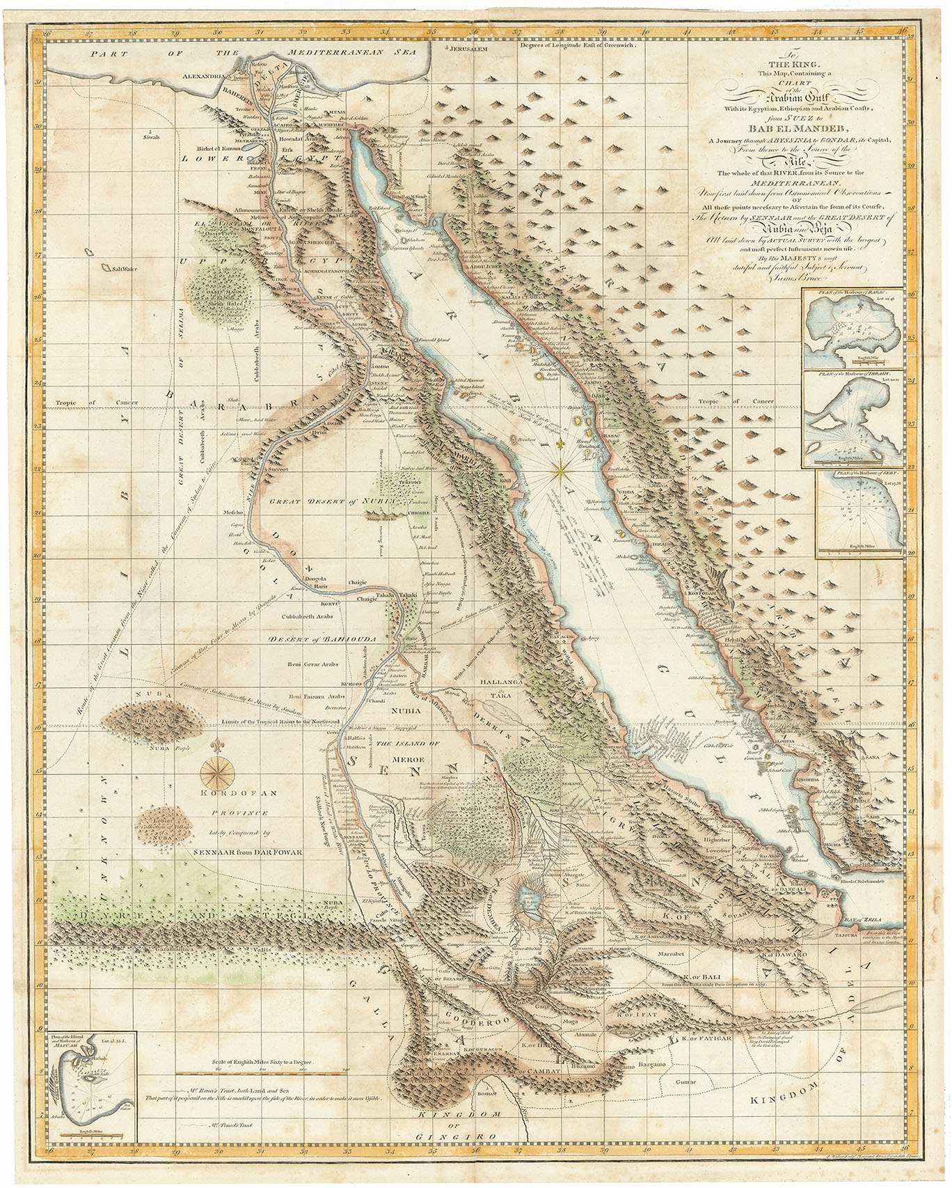
DESCRIPTION: J. Walker Sculpt. Margaret Street Cavendish Square.<br><br> The title continues with: <I>Now First Laid Down From Astronomical Observations of All Those Points Necessary to Ascertain the Form of Its Course, the Return by Sennaar and the Great Desert of Nubia and Beja.</I><br><br> This map is extremely detailed noting hundreds of place names, towns, villages. roads, mountains, lakes etc.<br><br> James Bruce (1730-1794) was one of the earliest westerners to search for the source of the Nile. His publication greatly enhanced Europe's knowledge of the geography and ethnography of this region. Bruce believed the Blue Nile, although smaller than the White Nile, was the Nile of the ancients and focused his explorations on this river. In November of 1770 he reached the source of the Blue Nile and claimed to have discovered its source. This map appeared in the five volume account of his travels published from London in 1790, Travels to Discover the Source of the Nile, In the Years 1768, 1769, 1770, 1771, 1772 and 1773.
ADDITIONAL INFO:
CONDITION: Fair condition. Nicely colored. Mounted to 4-ply acid free board.
REFERENCE:



 Login / Register
 Basket