Price: $5,750.00
SKU: 2217
PUBLISHER: Printed for Robt. Sayer and Ja. Bennett. No. 53 Fleet Street. London.
MEDIUM: Copper plate engraving.
DATE: 1783
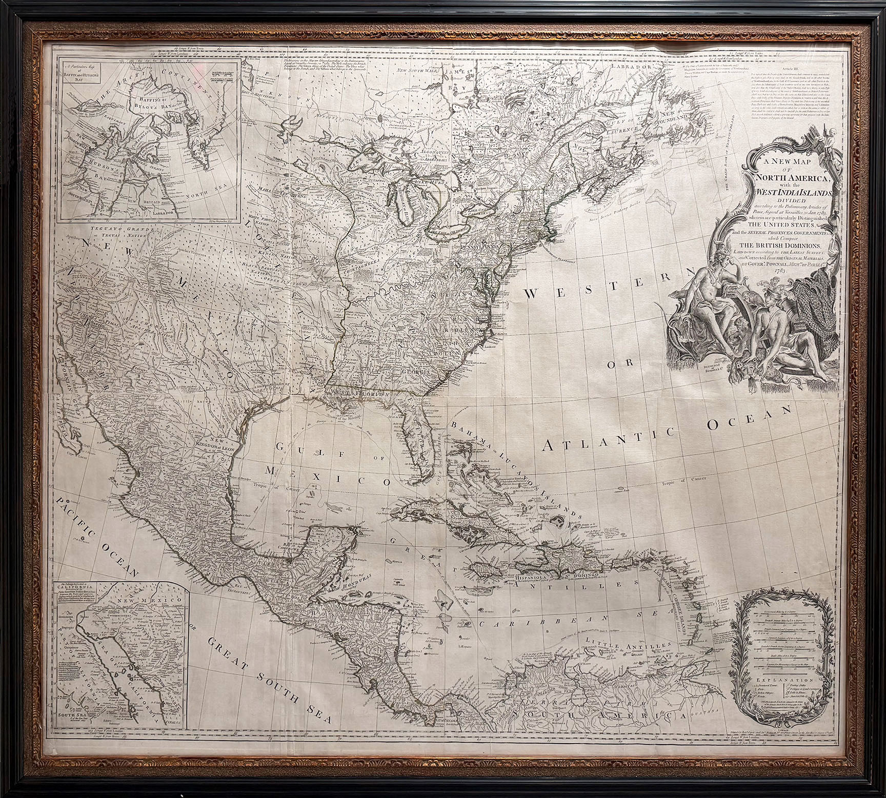
EDITION SIZE: Four-sheet map joined. 40 1/8 x 45 5/8” ( 100.2 x 110.6 cm) plus margins.
DESCRIPTION: A highly detailed wall map of the United States and Canada. <br><br> A beautiful cartouche depicting American Indians in the upper right portion of the image. In England, this map was the most widely used map of North America for that time period. It shows the boundaries of the United States that were settled at the end of the Revolution at the Treaty of Paris. An inset map in the lower left shows Kino's explorations in lower California which led to the discrediting of California as an island myth. Originally issued in 1755 by Bowen & Gibson, there are at least twelve various issues or states of this map. Over a period of years, there were extensive alterations in the map, title, and cartouche. This particular issue is the ninth or “I” as described in "Comparative Cartography" by Stevens & Tree.
ADDITIONAL INFO: Nicely framed in a period style receding black and sanded spandrel molding. Framed size 46.5 x 51.5 inches.
CONDITION: Good condition. Original outline hand coloring.
REFERENCE:



 Login / Register
 Basket